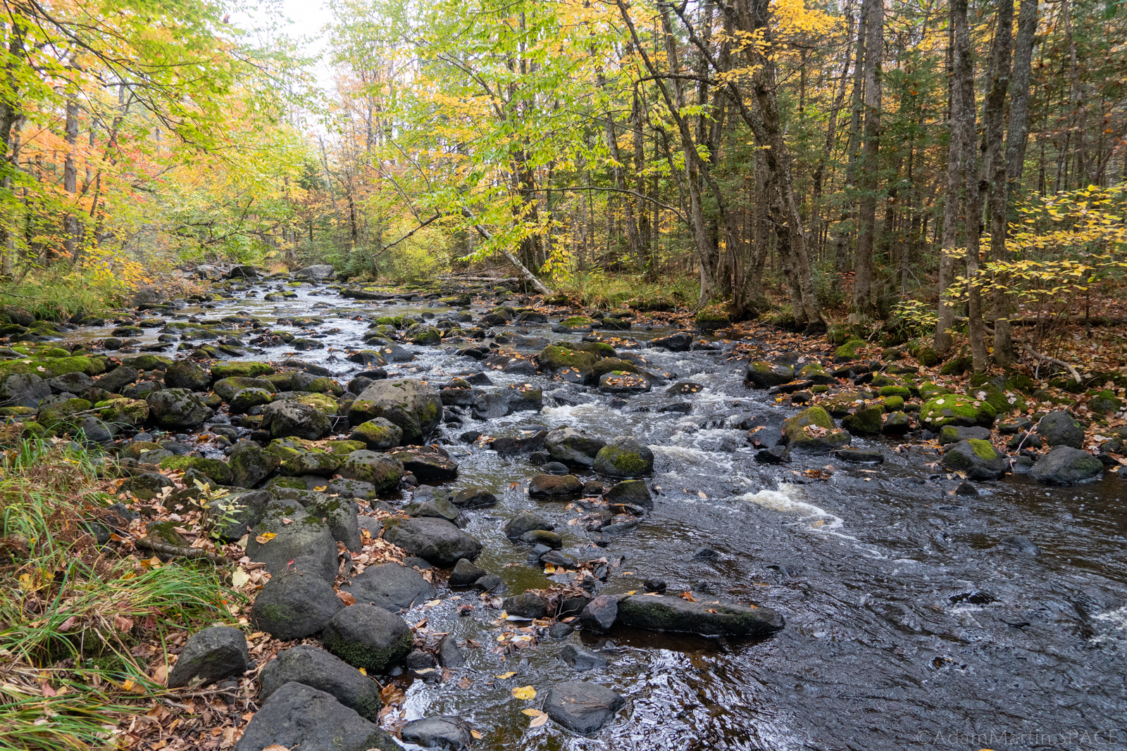
Spring Brook Road
Brunsweiler - B) Beaverdam Lake to Ensinger Road (9.5-10.9-11.8 miles) (WI)
Gauge Conditions
Approximate - nearest available gauge. Use as general reference only.
Photo
Description
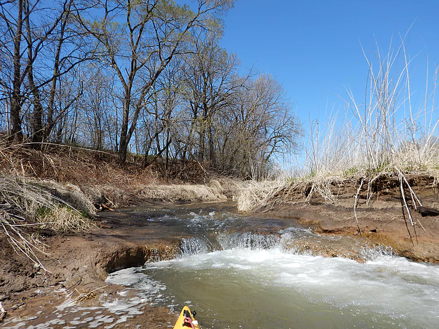
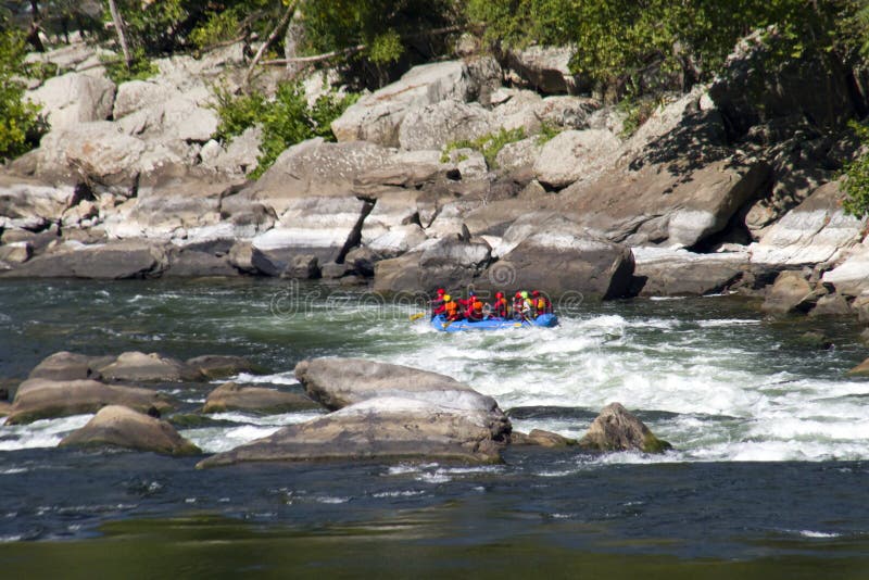
Often used as alternate put-in to avoid the logistics of the listed put-in, to skip the early action (scouting and portaging or running a class IV-V mini-gorge), and shorten this long run a bit.
This is the location for usual 'gauging' of the flow. On the river right upstream side of the Spring Brook Rd. bridge, measure down from the top of the bottom 12" x 6" support on the bridge:
10'4" down is a very nice level. Well worth trying to catch. See photos which other users have provided, which show the run at 11' down, which is a rather low-runnable flow. (Keep in mind that, on a 'measure down' gauge, 'more is less'! That is, 11' down is LESS water than 10'4" down.)
For that reason, we recommend doing a calculation of 11' minus your measure-down reading.
Using that calculation, 0" is the 'low boatable' level previously cited, and 8" is the 'very nice level'. (And, one of the comments below mentions running it at a 'measure down' of 11'8", which would be -8" . . . unfortunately, that comment mentions nothing of how boatable it was, but speaks only to how much wood was encountered.)
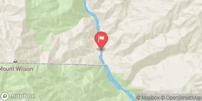
Location
Other Rapids on This Run (13)
 Rapid
N/A
Rapid
N/A
 Rapid
N/A
Rapid
N/A
 Rapid
N/A
Rapid
N/A
 Rapid
N/A
Rapid
N/A
 Rapid
N/A
Rapid
N/A
 Rapid
N/A
Rapid
N/A
 Rapid
N/A
Rapid
N/A
 Rapid
N/A
Rapid
N/A
 Rapid
N/A
Rapid
N/A
 Rapid
N/A
Rapid
N/A
 Rapid
N/A
Rapid
N/A
 Rapid
N/A
Rapid
N/A
 Rapid
N/A
Rapid
N/A
Current Conditions
5-Day Forecast
American Whitewater