Gauge Conditions
Runnable: ? – ? CFS
Approximate - nearest available gauge. Use as general reference only.
Data from American Whitewater & USGS
Description
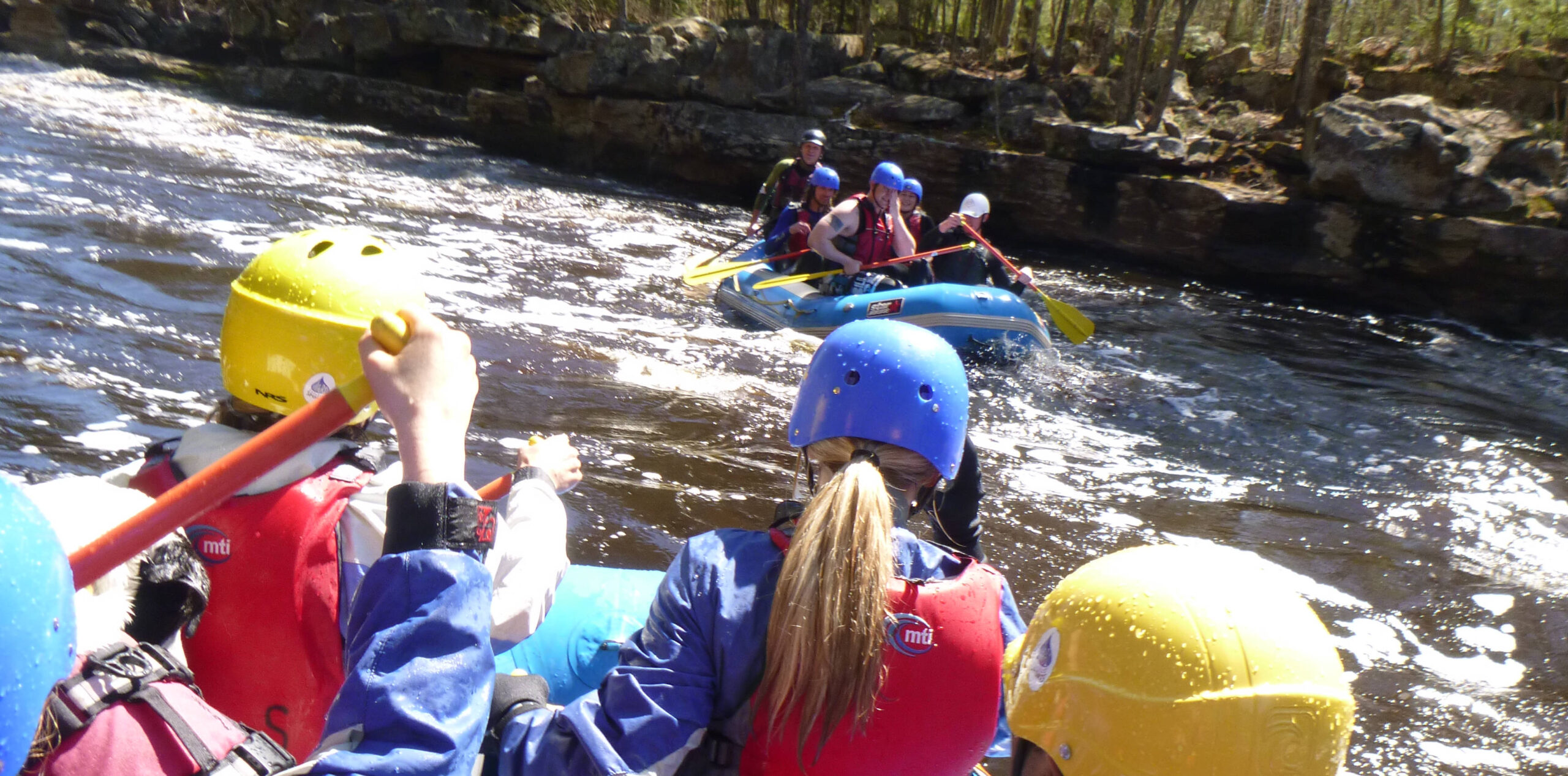
Note: Distance listed is NOT accurate or actual, but merely to sequence the photos/descriptions.
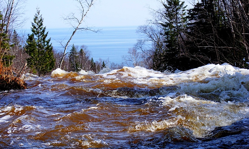
This trail/bridge is (approximately) at the 1180' elevation contour (via topo maps), and lies 1.0-1.1 mile (as measured online via GoogleMaps) upstream of the Lutsen Trail Bridge (at about 900' elevation). Thus, from this bridge to the next, there would be ~280FPM.
Location

View Full Run
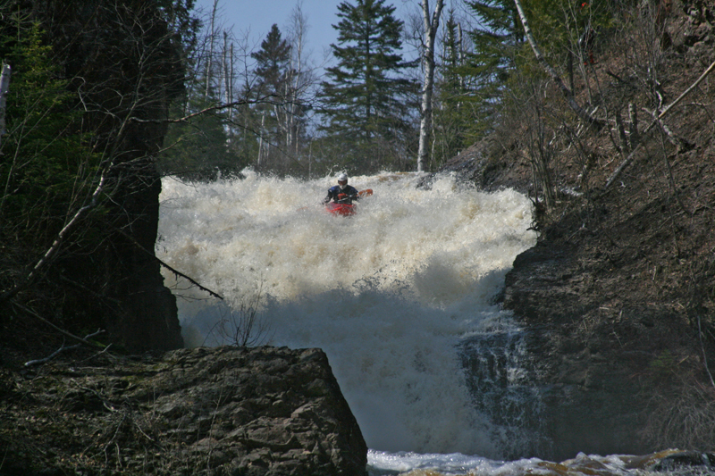
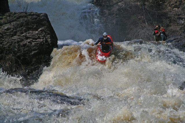
Falls (PnH)
Onion
V
1.7 mi
Current Conditions
5-Day Forecast
Whitewater data from
American Whitewater
American Whitewater