Gauge Conditions
Runnable: ? – ? CFS
Approximate - nearest available gauge. Use as general reference only.
Data from American Whitewater & USGS
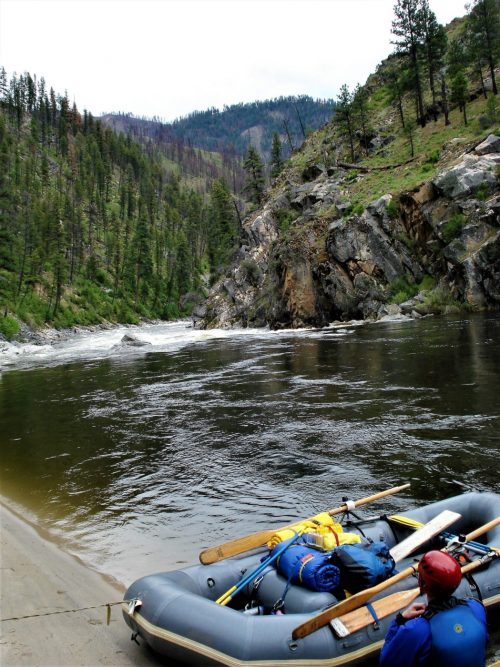
Photo
Photo courtesy of American Whitewater
Description
Take Out rapid features a straightforward descent with minimal technical challenges, located immediately downstream of the Highway 160 Bridge crossing Wolf Creek. While specific hazards are not prominently documented, paddlers should maintain standard line awareness and be prepared for potential debris or water level variations typical of mountain streams.
Location
Other Rapids on This Run (1)
View Full Run
01. Downstream from Highway 160 Bridge
Wolf Creek
IV+
0.7 mi
Current Conditions
5-Day Forecast
Whitewater data from
American Whitewater
American Whitewater