Gauge Conditions
Runnable: ? – ? CFS
Approximate - nearest available gauge. Use as general reference only.
Data from American Whitewater & USGS
Photo

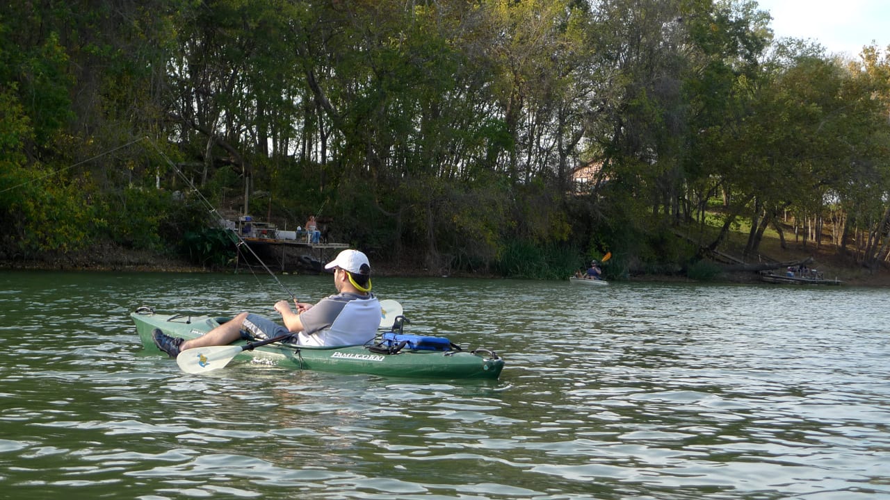
Photo courtesy of American Whitewater
Description
Take Out is a transition rapid marking the end of a significant section of the Lower Navajo River before its confluence with the San Juan. While specific details are limited, the rapid's name suggests it may serve as a key exit point for boaters completing this 25-mile stretch, potentially featuring complex hydraulics or navigation challenges that require careful approach and positioning.
Location
Other Rapids on This Run (1)
View Full Run
01. Lower 25 mi to San Juan confluence
Navajo
I-II
28.4 mi
Current Conditions
5-Day Forecast
Whitewater data from
American Whitewater
American Whitewater