Gauge Conditions
Runnable: ? – ? CFS
Approximate - nearest available gauge. Use as general reference only.
Data from American Whitewater & USGS
Photo

Photo courtesy of American Whitewater
Description
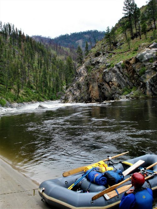
Take Out marks the end of this section, requiring careful navigation through a shallow, boulder-strewn exit that can create unpredictable hydraulics at varying water levels. Paddlers should be prepared to maneuver precisely between exposed rocks and potential debris, with the line shifting significantly depending on flow volume and season.
Location
Other Rapids on This Run (1)
View Full Run
01. National Forest CG to North Fork
White, South Fork
III-IV
10.3 mi
Current Conditions
5-Day Forecast
Whitewater data from
American Whitewater
American Whitewater