Gauge Conditions
Data from American Whitewater & USGS
Photo
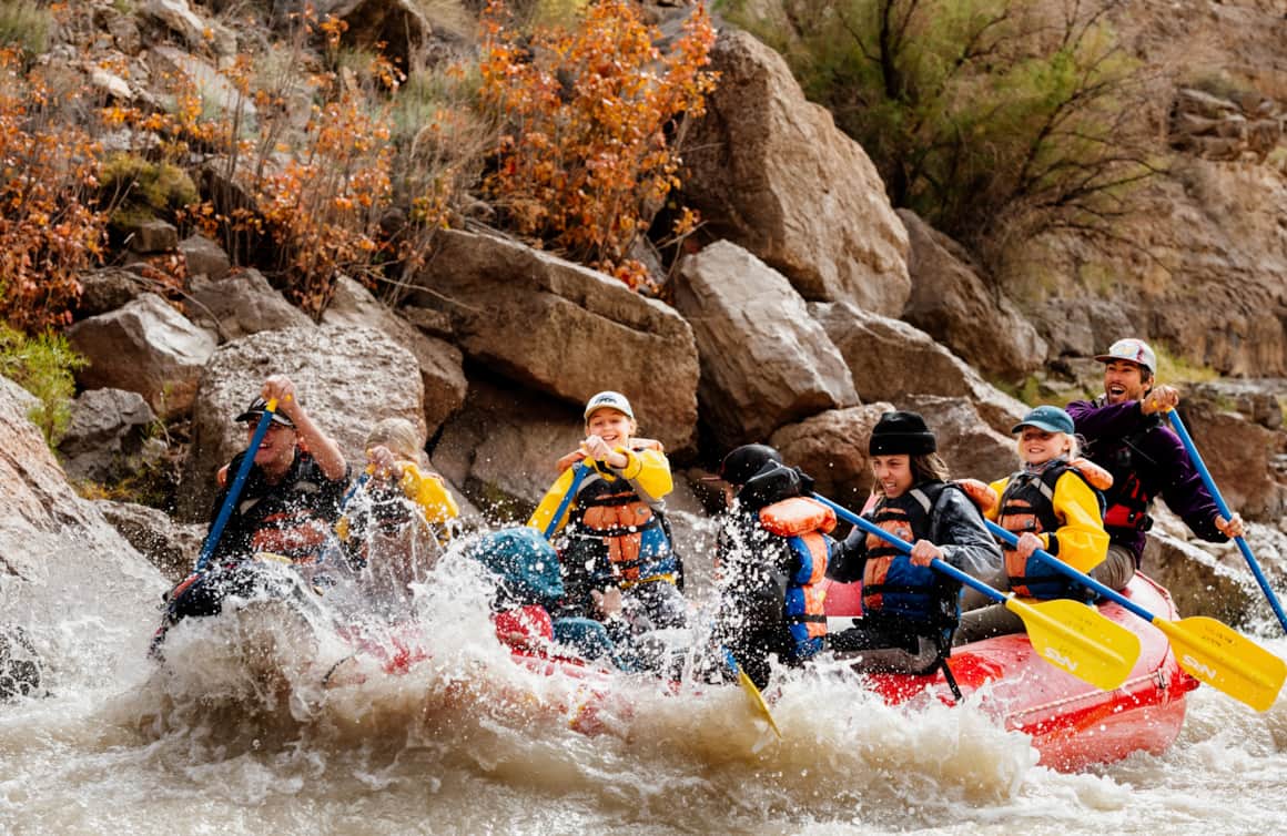
Photo courtesy of American Whitewater
Description
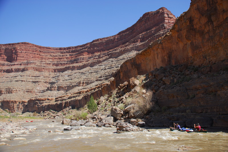
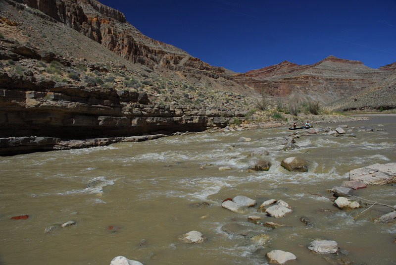
Take Out marks the end of this section, serving as a crucial transition point for boaters exiting the river near Mexican Hat. The rapid itself is relatively straightforward, with no significant technical challenges, but paddlers should be aware of potential shallow areas and potential riverside obstacles during low water conditions. Careful route selection and awareness of potential takeout logistics are recommended.
Location
Other Rapids on This Run (4)


View Full Run
01. Sand Island to Mexican Hat
San Juan
II
26.9 mi
Current Conditions
5-Day Forecast
Whitewater data from
American Whitewater
American Whitewater