Gauge Conditions
Runnable: ? – ? CFS
Approximate - nearest available gauge. Use as general reference only.
Data from American Whitewater & USGS
Photo
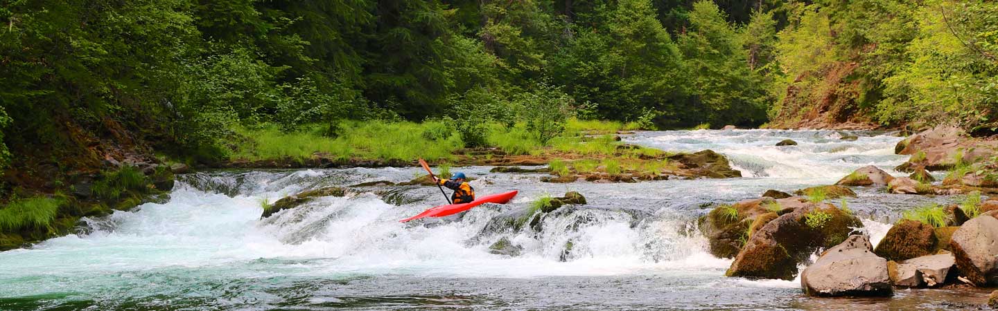
Photo courtesy of American Whitewater
Description
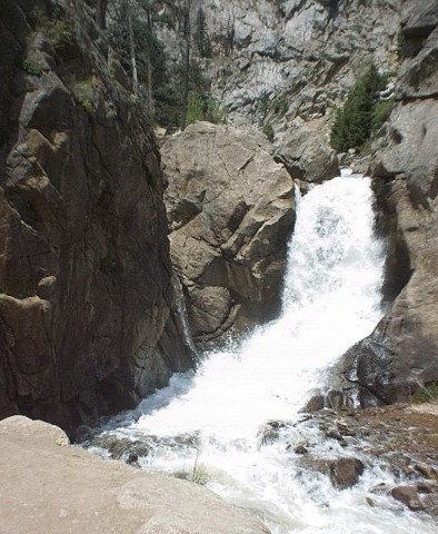
Take Out is a transition zone marking the end of the run with potential shallow rock gardens and tight maneuvering requirements. Paddlers should be prepared for potential pinning hazards and carefully scout exit routes, particularly during low water conditions when submerged rocks become more prominent.
Location
Other Rapids on This Run (2)
View Full Run
01. Switzerland Park to Boulder Falls
Boulder Creek, North
V+
1.8 mi
Current Conditions
5-Day Forecast
Whitewater data from
American Whitewater
American Whitewater