Gauge Conditions
Runnable: 200.0 – 10,000.0 CFS
Flow range for best boatability uncertain. Please help your fellow boaters with a comment or report.
Data from American Whitewater & USGS
Photo
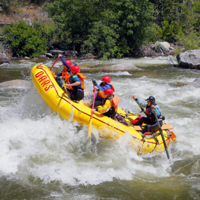
Photo courtesy of American Whitewater
Description
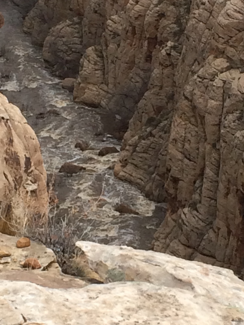
Take Out marks the conclusion of the Chevelon Creek run, signaling the transition from the canyon section to the confluence with the Little Colorado River. While specific technical details are limited, this point likely requires careful navigation and precise route selection due to potential terrain changes and water conditions at the river junction.
Location
Other Rapids on This Run (3)
View Full Run
01. Woods Canyon Lake to Little Colorado River
Chevelon Creek
I-IV+
91.3 mi
Current Conditions
5-Day Forecast
Whitewater data from
American Whitewater
American Whitewater