Gauge Conditions
Runnable: ? – ? CFS
Approximate - nearest available gauge. Use as general reference only.
Data from American Whitewater & USGS
Photo
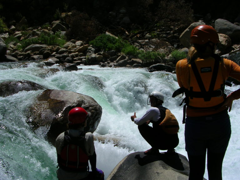
Photo courtesy of American Whitewater
Description
Take Out marks the conclusion of the Kannah Creek run, transitioning paddlers from whitewater to the confluence with the Gunnison River. While specifics are limited, this section likely requires careful navigation and awareness of potential river hazards typical of Colorado mountain streams.
Location
Other Rapids on This Run (1)
View Full Run
02. Rte. 50 to Rte. 141 (Gunnison River)
Kannah Creek
III
7.1 mi
Current Conditions
5-Day Forecast
Whitewater data from
American Whitewater
American Whitewater