Gauge Conditions
Runnable: ? – ? CFS
Approximate - nearest available gauge. Use as general reference only.
Data from American Whitewater & USGS
Photo
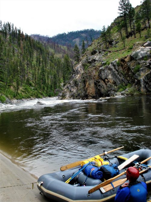
Photo courtesy of American Whitewater
Description
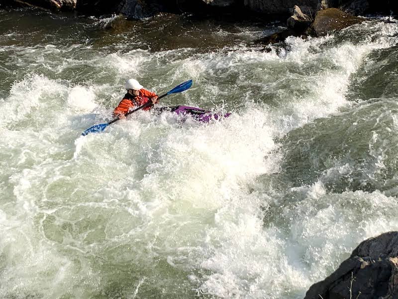
Take Out rapid marks the end of the Buffalo Creek section, characterized by a wide, shallow riverbed with scattered rocks and potential strainers. Paddlers should be cautious of low water conditions and potential debris, carefully navigating the braided channel to safely exit the river. Local knowledge and careful scouting are recommended, especially during variable water levels.
Location
Other Rapids on This Run (2)
View Full Run
03. Buffalo Creek to South Platte
South Platte, North Fork
III-IV
10.0 mi
Current Conditions
5-Day Forecast
Whitewater data from
American Whitewater
American Whitewater