Gauge Conditions
Runnable: ? – ? CFS
Approximate - nearest available gauge. Use as general reference only.
Data from American Whitewater & USGS
Photo

Photo courtesy of American Whitewater
Description
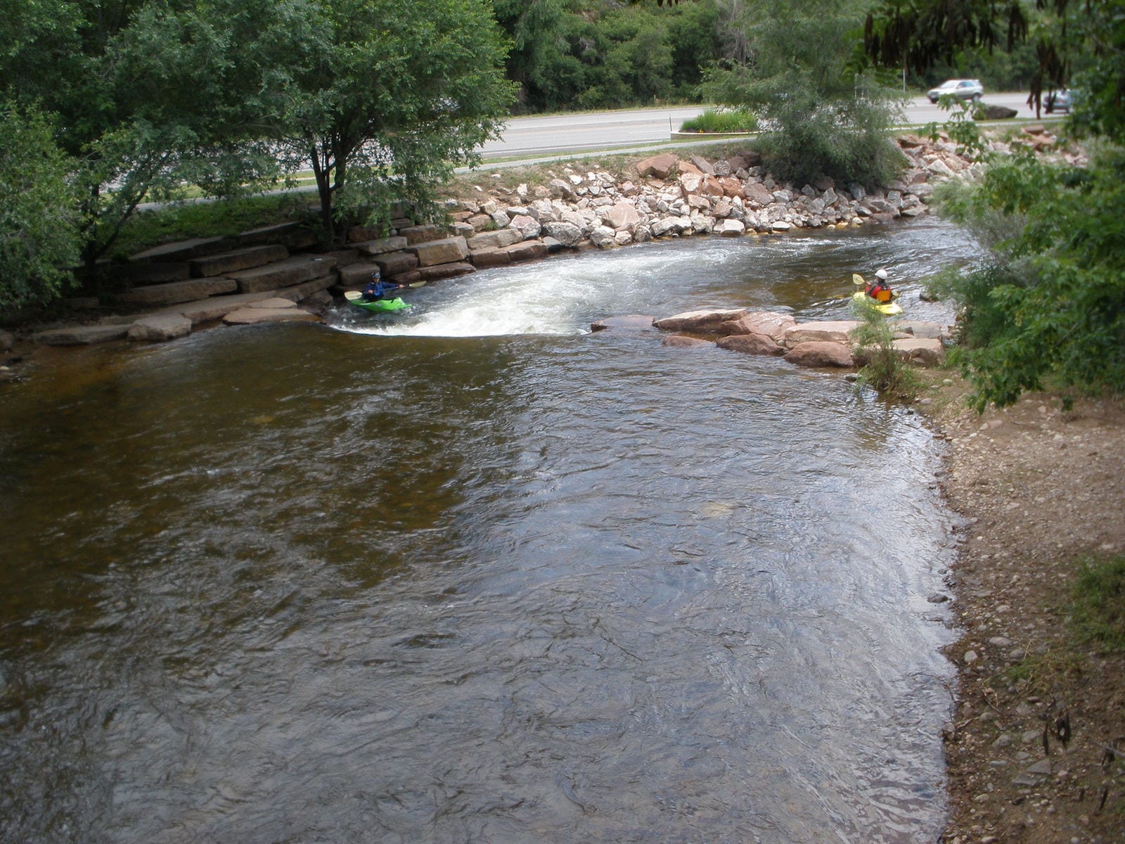
Take Out rapid marks the end of the Saint Vrain Creek run, signaling the transition to St. Vrain State Park. While specific details are limited, paddlers should be aware of potential debris and changing water conditions as they approach the takeout point, which may require careful navigation and route selection.
Location
Other Rapids on This Run (1)
View Full Run
03. Longmont to St. Vrain State Park
Saint Vrain Creek
I-II
7.6 mi
Current Conditions
5-Day Forecast
Whitewater data from
American Whitewater
American Whitewater