Gauge Conditions
Data from American Whitewater & USGS
Photo
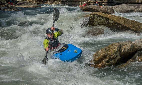
Photo courtesy of American Whitewater
Description
Take Out rapid marks the end of this river section, situated at the confluence with Long Run. While specific details are limited, paddlers should be prepared for potential complex hydraulics and navigation challenges as they approach the takeout point. Careful scouting and situational awareness are recommended when running this section.
Location
Other Rapids on This Run (1)

View Full Run
1. Adolph to confluence with Long Run
Middle Fork
II-III
12.4 mi
Current Conditions
5-Day Forecast
Whitewater data from
American Whitewater
American Whitewater