Gauge Conditions
Data from American Whitewater & USGS
Photo
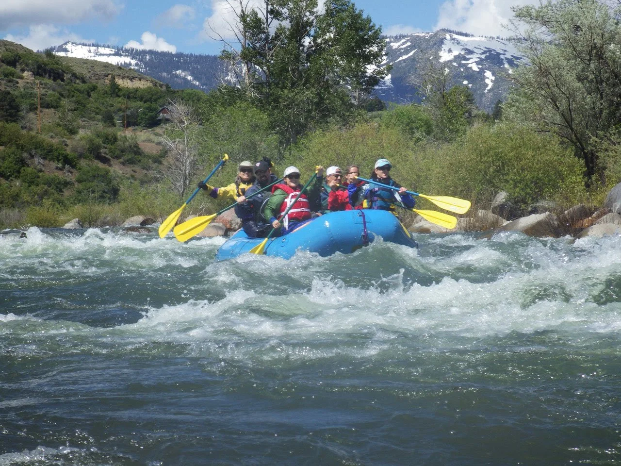
Photo courtesy of American Whitewater
Description
Take Out marks the end of the Alpine Meadows to Floriston run, serving as a critical transition point where paddlers need to exit the river. While specific details about the rapid's features are limited, careful navigation and awareness of potential hazards near the takeout point are essential for a safe conclusion to this Truckee River section.
Location
Other Rapids on This Run (2)
View Full Run
1. Alpine Meadows Road to Floriston
Truckee
II-III
27.0 mi
Current Conditions
5-Day Forecast
Whitewater data from
American Whitewater
American Whitewater