Take-out
WV
Take Out
Laurel Creek (Elk River tributary) - 1. Confluence with McAvoy Run to Erbacon (WV)
Gauge Conditions
Data from American Whitewater & USGS
Photo
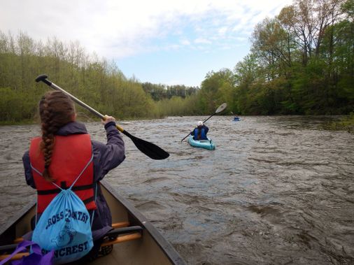
Photo courtesy of American Whitewater
Description
Take Out rapid is located at the confluence of Laurel Creek and the Elk River in West Virginia, marking the downstream end of a whitewater run. Limited information is available about specific technical features or difficulty of this rapid, suggesting it may be less frequently paddled or documented.
Location
Other Rapids on This Run (1)

View Full Run
1. Confluence with McAvoy Run to Erbacon
Laurel Creek (Elk River tributary)
III-IV
7.5 mi
Current Conditions
5-Day Forecast
Whitewater data from
American Whitewater
American Whitewater