Take-out
WA
Take Out
Stillaguamish, N. Fork - 1. Confluence with S. Branch to bridge below Moose Creek (WA)
Gauge Conditions
Runnable: ? – ? CFS
Approximate - nearest available gauge. Use as general reference only.
Data from American Whitewater & USGS
Photo
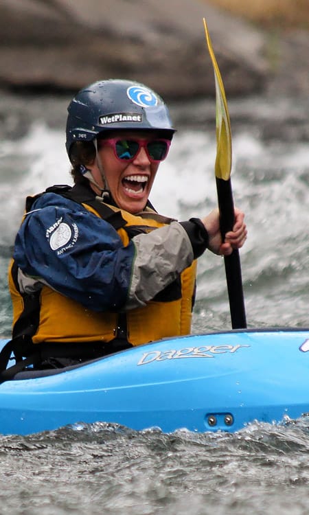
Photo courtesy of American Whitewater
Description
Take Out marks the end of the upper North Fork Stillaguamish run, characterized by a complex confluence with potential hydraulic features and shifting boulder gardens. Paddlers should carefully scout the rapid for current route conditions, potential undercut rocks, and the transition to the takeout zone, which can become challenging at varying water levels.
Location
Other Rapids on This Run (1)
View Full Run
1. Confluence with S. Branch to bridge below Moose Creek
Stillaguamish, N. Fork
V
8.2 mi
Current Conditions
5-Day Forecast
Whitewater data from
American Whitewater
American Whitewater