Gauge Conditions
Data from American Whitewater & USGS
Photo
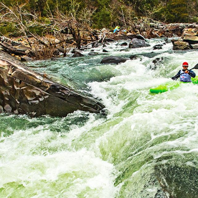
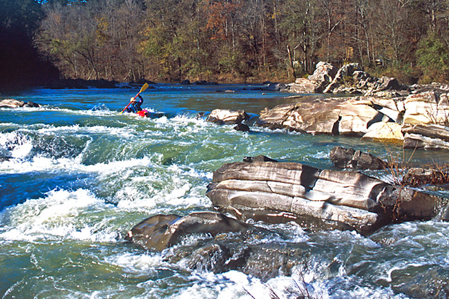
Photo courtesy of American Whitewater
Description
Take Out marks the end of the Cossatot River's most challenging section, featuring a series of complex hydraulics and tight channels that demand precise boat positioning and technical maneuvering. Paddlers should be alert for potential undercut rocks and shifting water volumes that can create unpredictable currents, making smooth navigation critical in this final stretch before the takeout point.
Location
Other Rapids on This Run (1)
View Full Run
1) County Road 31 to Hwy 246 (3.4-8.9 miles)
Cossatot
II+
3.4 mi
Current Conditions
5-Day Forecast
Whitewater data from
American Whitewater
American Whitewater