Take-out
VA
Take Out
Buffalo River (Tye trib.) - 1. Forks of Buffalo (U.S. 60) to Amherst (U.S. 29) (VA)
Gauge Conditions
Runnable: ? – ? CFS
Approximate - nearest available gauge. Use as general reference only.
Data from American Whitewater & USGS
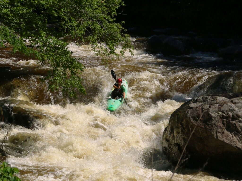
Photo

Photo courtesy of American Whitewater
Description
Take Out rapid is located at the exit point of this river section, marked by potential debris and a narrow channel that requires precise navigation. Paddlers should be alert for potential strainers or obstacles near the takeout point, and carefully assess water levels and flow conditions before attempting passage through this transition zone.
Location
Other Rapids on This Run (1)
View Full Run
1. Forks of Buffalo (U.S. 60) to Amherst (U.S. 29)
Buffalo River (Tye trib.)
II
17.9 mi
Current Conditions
5-Day Forecast
Whitewater data from
American Whitewater
American Whitewater