Gauge Conditions
Runnable: ? – ? CFS
Approximate - nearest available gauge. Use as general reference only.
Data from American Whitewater & USGS
CDEC Flow Data California
Data from California Data Exchange Center (CDEC)
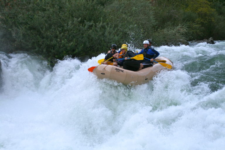
Photo
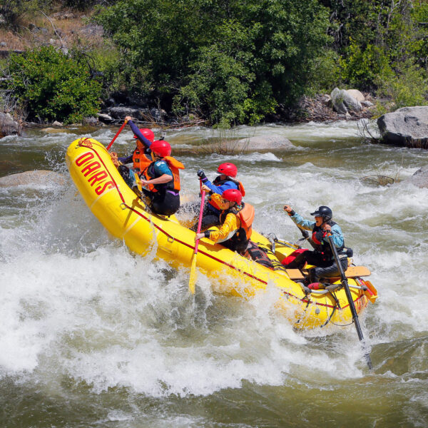
Photo courtesy of American Whitewater
Description
Take Out rapid marks the end of the run at Clark's Fork Bridge, serving as a transition point for boaters exiting the Middle Fork Stanislaus. While specifics are limited, paddlers should be aware of potential debris, takeout logistics, and potential shuttle considerations at this location.
Location
Other Rapids on This Run (3)
View Full Run
1. Kennedy Meadows to Clark's Fork Bridge
Stanislaus, Middle Fork
II-IV
9.7 mi
Current Conditions
5-Day Forecast
Whitewater data from
American Whitewater
American Whitewater