Gauge Conditions
Runnable: ? – ? CFS
Approximate - nearest available gauge. Use as general reference only.
Data from American Whitewater & USGS
Photo

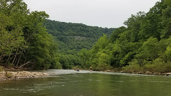
Photo courtesy of American Whitewater
Description
Take Out rapid marks the end of the Middle Fork's Peyton Creek to Arlberg section, serving as a transition point for boaters completing their run. While specific details are limited, paddlers should be prepared for potential final hydraulics or obstacles as they approach the takeout point, maintaining awareness of river conditions and potential exit routes.
Location
Other Rapids on This Run (1)
View Full Run
1) Peyton Creek to Arlberg (17.25 miles)
Little Red, Middle Fork
I(III)
17.7 mi
Current Conditions
5-Day Forecast
Whitewater data from
American Whitewater
American Whitewater