Gauge Conditions
Runnable: ? – ? CFS
Approximate - nearest available gauge. Use as general reference only.
Data from American Whitewater & USGS
Photo
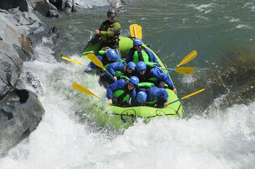
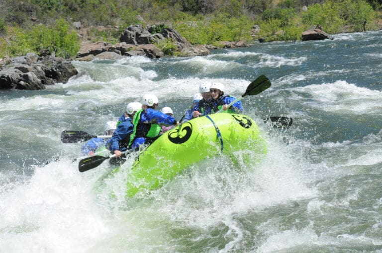
Photo courtesy of American Whitewater
Description
Take Out rapid marks the end of this river section, characterized by a tight passage between boulder-strewn banks that can create unpredictable hydraulics at different water levels. Paddlers should be prepared for potential sieving and pinning hazards, particularly along the right bank where large rocks and debris can create dangerous entrapment zones.
Location
Other Rapids on This Run (1)
View Full Run
1. Route 4 Bridge to Salt Springs Reservoir
Mokelumne, N. Fork
V+
24.1 mi
Current Conditions
5-Day Forecast
Whitewater data from
American Whitewater
American Whitewater