Gauge Conditions
Data from American Whitewater & USGS
Description
Accesss just upstream of where Haden Creek joins the North Fork John Day. A gravel ramp provides an access to the river on river left (opposite side of the river from Highway 395 that parallels the river in this section.
Location


View Full Run
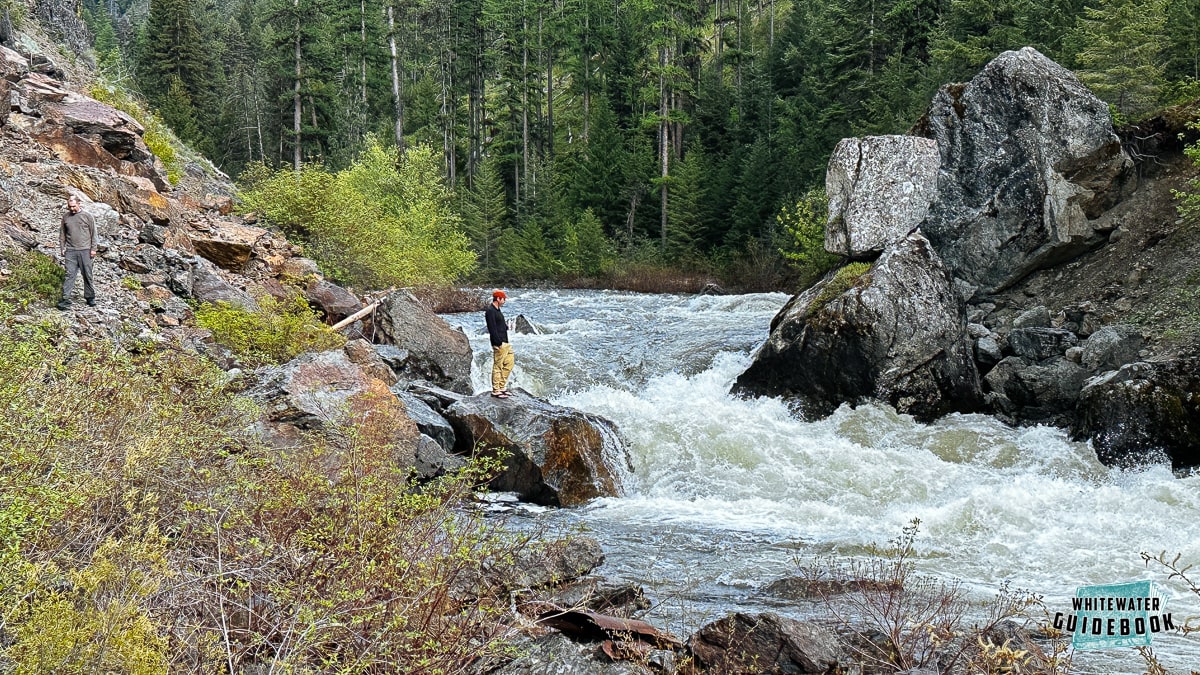
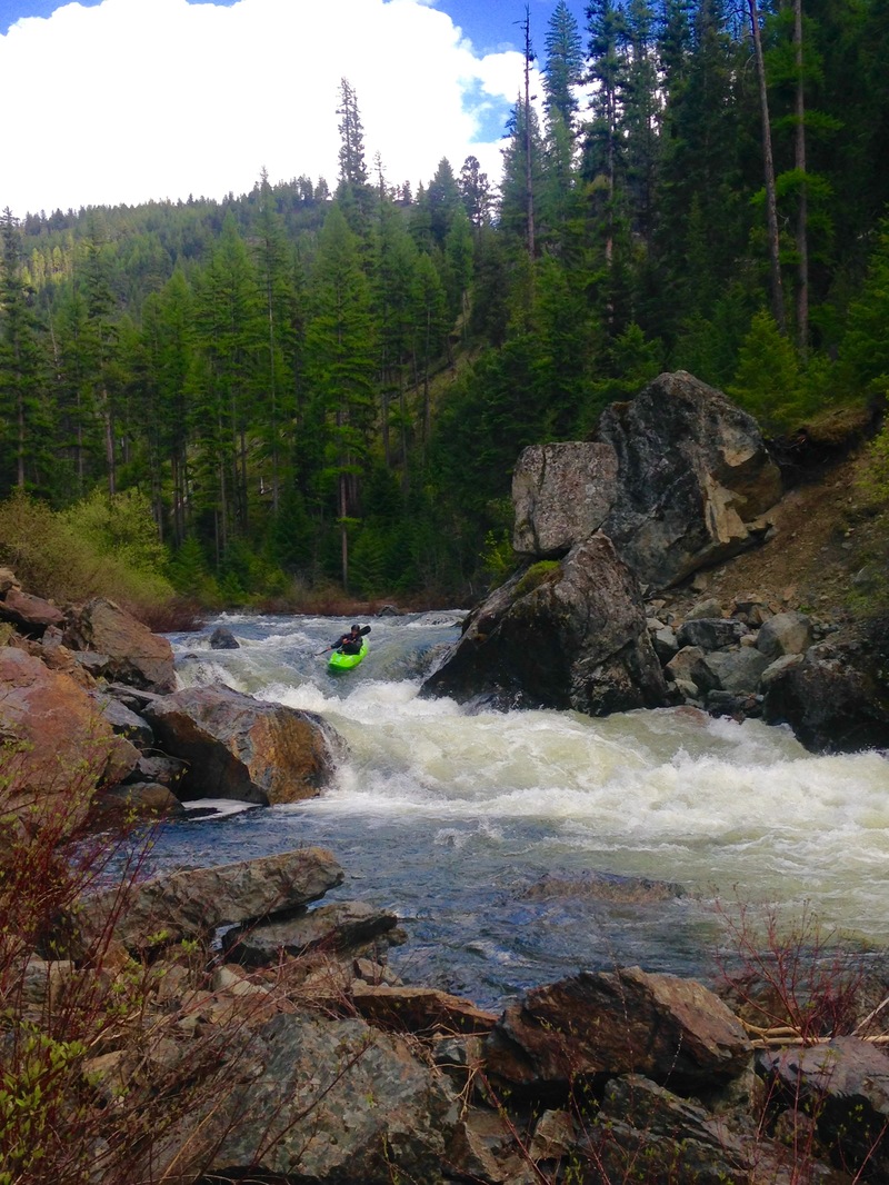
1. Route 52 Bridge to Dale
John Day, N. Fork
II-IV(V)
43.0 mi
Current Conditions
5-Day Forecast
Whitewater data from
American Whitewater
American Whitewater