Gauge Conditions
Data from American Whitewater & USGS
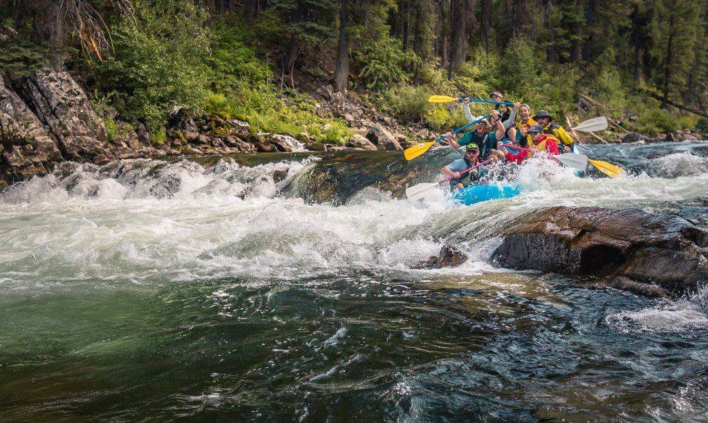
Photo
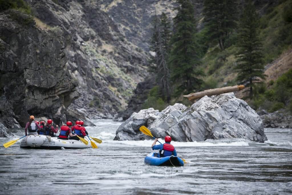
Photo courtesy of American Whitewater
Description
Take Out marks the terminus of the Dearborn River run, typically signaling the end of a challenging wilderness descent. While not technically a defined rapid, this section requires careful navigation through potential debris and shifting water conditions, with paddlers needing to be alert for potential obstacles and route-finding challenges at lower water levels.
Location
Other Rapids on This Run (1)
View Full Run
1) Upper (carry up 4 miles from end of Dearborn Canyon Road)
Dearborn
III-V(V+)
4.9 mi
Current Conditions
5-Day Forecast
Whitewater data from
American Whitewater
American Whitewater