Gauge Conditions
Runnable: ? – ? CFS
Approximate - nearest available gauge. Use as general reference only.
Data from American Whitewater & USGS
Photo
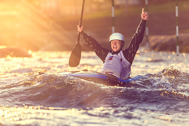
Photo courtesy of American Whitewater
Description
Take Out marks the end of the Upper Kalama Falls section, presenting a potentially complex exit point for boaters after navigating the preceding challenging rapids. While specific details are limited, paddlers should approach with caution and be prepared for potential obstacles or technical maneuvering required to safely clear the rapid and reach the takeout point.
Location
Other Rapids on This Run (1)

View Full Run
1. Upper Kalama Falls to Gobar Creek (Upper)
Kalama
III-IV
16.3 mi
Current Conditions
5-Day Forecast
Whitewater data from
American Whitewater
American Whitewater