Gauge Conditions
Data from American Whitewater & USGS
Photo
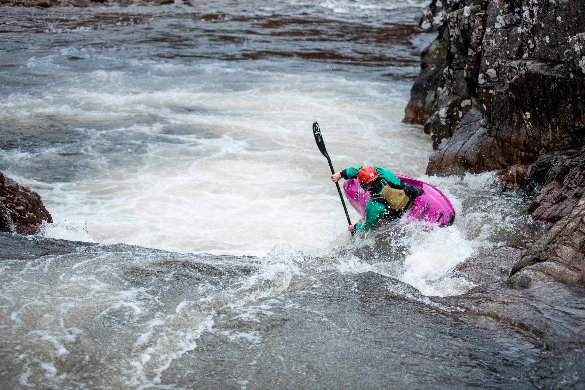
Photo courtesy of American Whitewater
Description
Take Out marks the end of the upper Nehalem section, typically signaling the conclusion of a river run with potential hazards during high water or log conditions. Paddlers should be aware of potential strainers or debris near the takeout point and scout the exit carefully, especially during seasonal flow variations.
Location
Other Rapids on This Run (1)
View Full Run
1) Upper Nehalem to Vernonia
Nehalem
I-II
10.2 mi
Current Conditions
5-Day Forecast
Whitewater data from
American Whitewater
American Whitewater