Take-out
WV
Take Out
Potomac, S. Fk. of the S. Br. - 1. VA/WV state line to confluence of Brushy Fork (WV)
Gauge Conditions
Data from American Whitewater & USGS
Photo
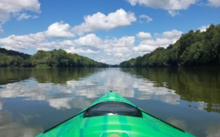
Photo courtesy of American Whitewater
Description
Take Out is the terminal rapid of this section, marked by a complex confluence of currents where the river's gradient increases and multiple channels converge. Paddlers should be prepared for potential shifting hydraulics and scattered boulder fields that can create unpredictable water movement, with careful route selection critical to navigating the rapid safely.
Location
Other Rapids on This Run (1)

View Full Run
1. VA/WV state line to confluence of Brushy Fork
Potomac, S. Fk. of the S. Br.
II
4.6 mi
Current Conditions
5-Day Forecast
Whitewater data from
American Whitewater
American Whitewater