Gauge Conditions
Runnable: ? – ? CFS
Approximate - nearest available gauge. Use as general reference only.
Data from American Whitewater & USGS
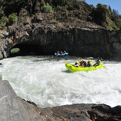
Photo
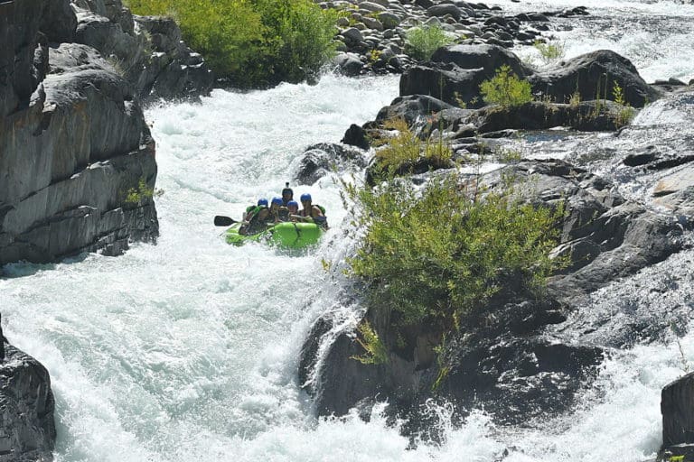
Photo courtesy of American Whitewater
Description
Take Out marks the end of the North Fork Middle Fork Willamette run, featuring a transition zone with potential boat extraction challenges depending on water levels. Paddlers should assess the riverbank access and potential obstacles during shuttle planning, paying close attention to potential log jams or uneven terrain that could complicate gear removal.
Location
Other Rapids on This Run (1)
View Full Run
2) below Gorge to Westfir
Willamette, N. Fork of Middle Fork
III
5.9 mi
Current Conditions
5-Day Forecast
Whitewater data from
American Whitewater
American Whitewater