Take-out
WV
Take Out
Holly River, Right Fork - 2. Confluence of Grassy Creek near Diana to confluence of Left Fork (WV)
Gauge Conditions
Data from American Whitewater & USGS
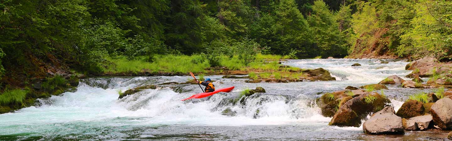
Photo

Photo courtesy of American Whitewater
Description
Take Out rapid is located at the confluence with Left Fork, marking the end of this river section. While specific details are limited, paddlers should be prepared for potential changes in water volume and flow characteristics at this transition point, with careful navigation required around any merging currents or potential debris.
Location
Other Rapids on This Run (1)
View Full Run
2. Confluence of Grassy Creek near Diana to confluence of Left Fork
Holly River, Right Fork
I-II
14.8 mi
Current Conditions
5-Day Forecast
Whitewater data from
American Whitewater
American Whitewater