Gauge Conditions
Data from American Whitewater & USGS
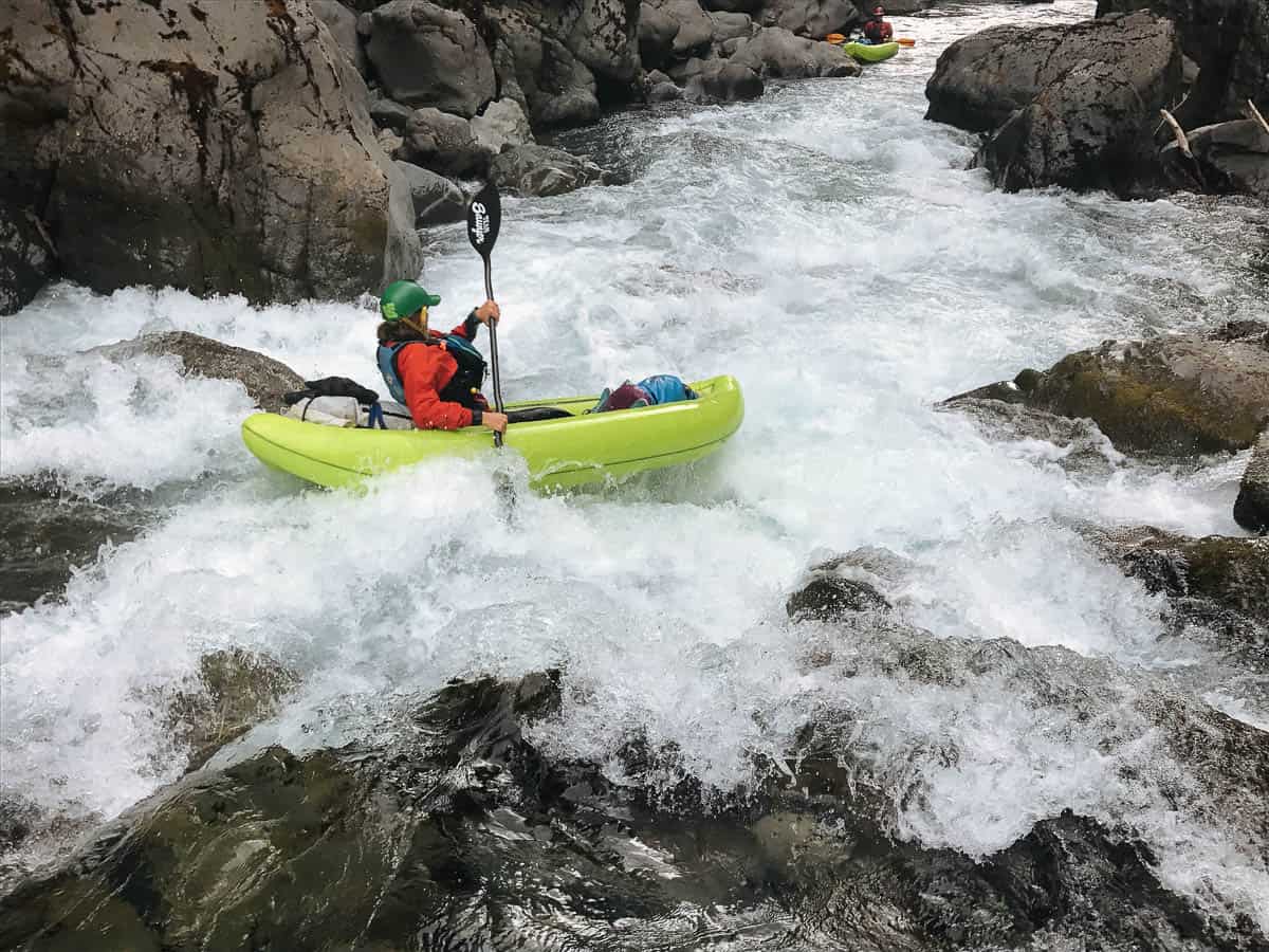
Photo

Photo courtesy of American Whitewater
Description
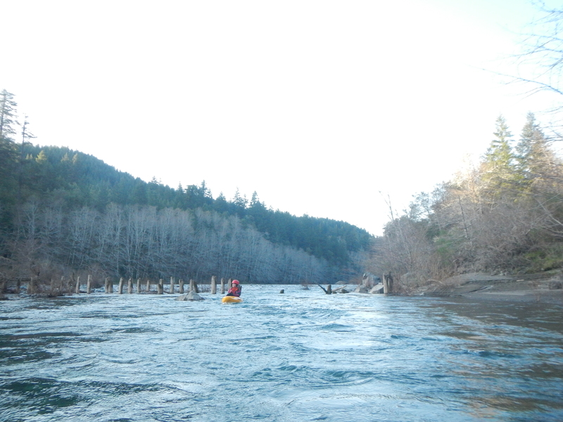
Take Out marks the end of the challenging Chetco Gorge section, requiring careful navigation through a constricted channel with potential for undercut rocks and complex hydraulics. Paddlers should scout carefully and be prepared for swift water and potential debris, as the rapid's exit point can vary significantly with water levels and may present technical maneuvering challenges.
Location
Other Rapids on This Run (5)
View Full Run
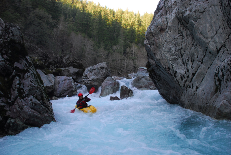
2) Craggie Creek to South Fork (Chetco Gorge)
Chetco
III-IV(V)
10.2 mi
Current Conditions
5-Day Forecast
Whitewater data from
American Whitewater
American Whitewater