Gauge Conditions
Data from American Whitewater & USGS
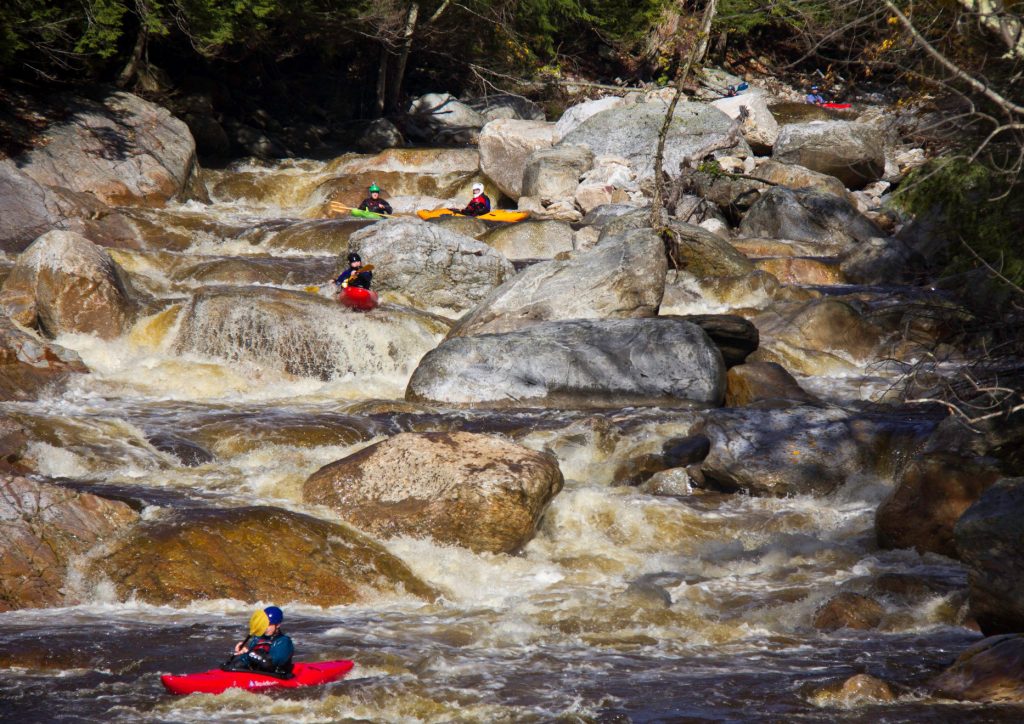
Photo

Photo courtesy of American Whitewater
Description
Take Out marks the end of this river section, signaling the conclusion of the Westfield's North Branch run through Cummington. While specific details are limited, paddlers should be prepared for potential final navigational challenges and ensure a safe exit strategy at this point in the descent.
Location
Other Rapids on This Run (1)
View Full Run
2) Cummington to Chesterfield Gorge
Westfield, N. Branch
I-III
6.7 mi
Current Conditions
5-Day Forecast
Whitewater data from
American Whitewater
American Whitewater