Gauge Conditions
Data from American Whitewater & USGS
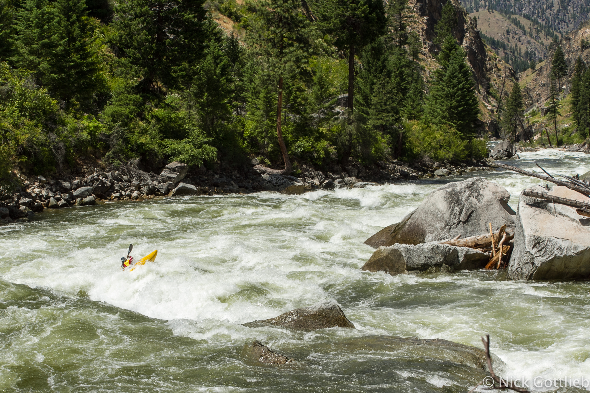
Photo
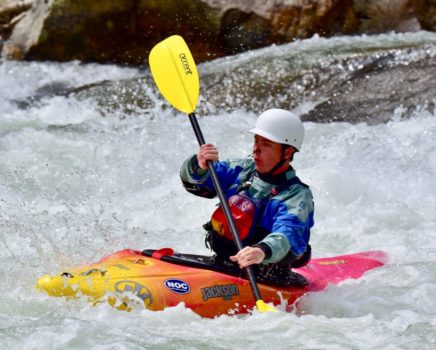
Photo courtesy of American Whitewater
Description
Take Out rapid marks the end of this Secesh River section, serving as a critical transition point for boaters before entering the South Fork Salmon River. While specific details about the rapid's features are limited, paddlers should be prepared for potential complex river dynamics and carefully scout the confluence area for any hazards or unexpected water conditions.
Location
Other Rapids on This Run (1)
View Full Run
2. Loon Creek to Lick Creek, 4.6 mi to S. Fork Salmon R.
Secesh
IV-V
15.7 mi
Current Conditions
5-Day Forecast
Whitewater data from
American Whitewater
American Whitewater