Gauge Conditions
Runnable: 150.0 – 10,000.0 CFS
Upper limit for best boatability uncertain. Please help your fellow boaters with a comment or report.
Data from American Whitewater & USGS
Photo
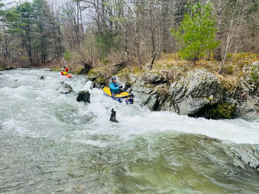
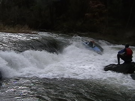
Photo courtesy of American Whitewater
Description
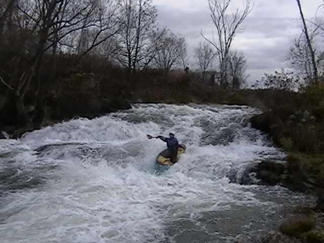
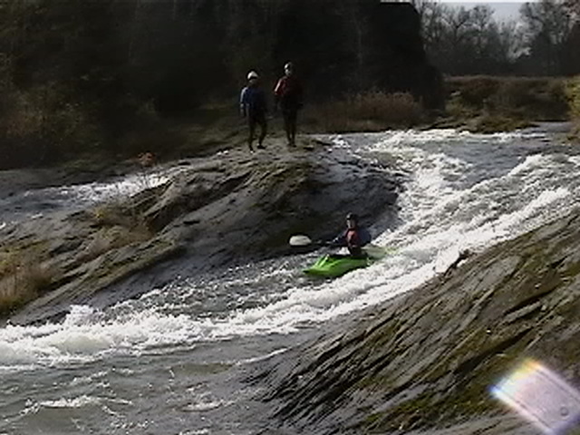
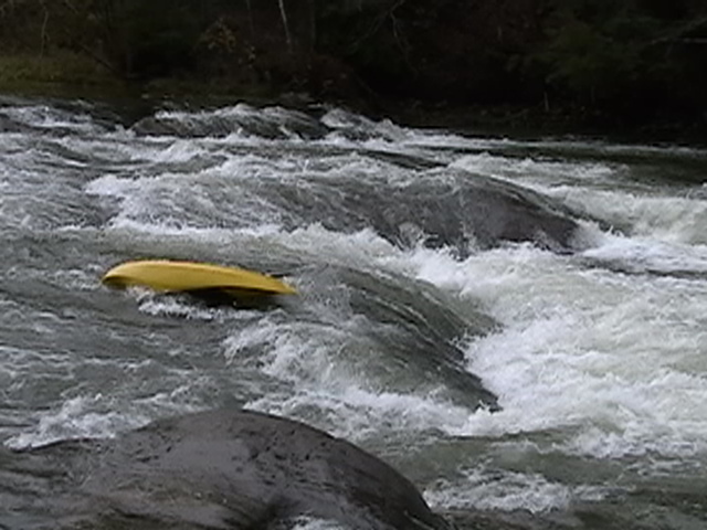
Take Out is the terminal rapid of the Lower Poultney River section, marking the end of the run where paddlers typically exit the river. While specific details are limited, the rapid likely requires careful navigation through potential end-of-run obstacles and potential shallow or rocky conditions near the takeout point.
Location
View Full Run
2. Lower
Poultney
III-IV
3.9 mi
Current Conditions
5-Day Forecast
Whitewater data from
American Whitewater
American Whitewater