Gauge Conditions
Runnable: ? – ? CFS
Approximate - nearest available gauge. Use as general reference only.
Data from American Whitewater & USGS
CDEC Flow Data California
Data from California Data Exchange Center (CDEC)
Photo

Photo courtesy of American Whitewater
Description
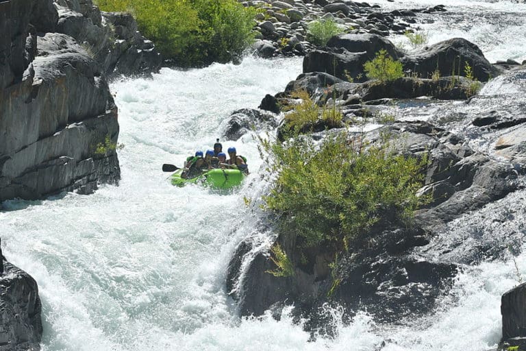
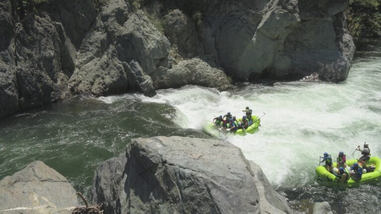
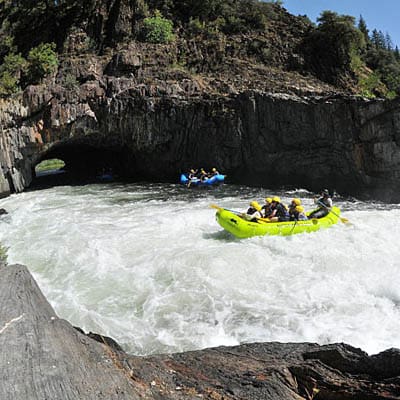
Take Out marks the terminus of this challenging river segment, requiring paddlers to carefully navigate a narrow exit point with potential undercut rocks and variable water levels. Precise boat control and situational awareness are critical when approaching this technical take-out, which can present hazards depending on seasonal flow and debris conditions.
Location
Other Rapids on This Run (3)
View Full Run
2) Platina Road to North Fork
Cottonwood Creek, Middle Fork
I-III
24.8 mi
Current Conditions
5-Day Forecast
Whitewater data from
American Whitewater
American Whitewater