Gauge Conditions
Runnable: 200.0 – 6,000.0 CFS
Flow range for best boatability uncertain. Please help your fellow boaters with a comment or report.
Data from American Whitewater & USGS
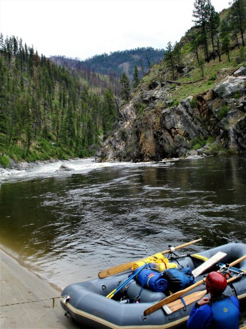
Photo
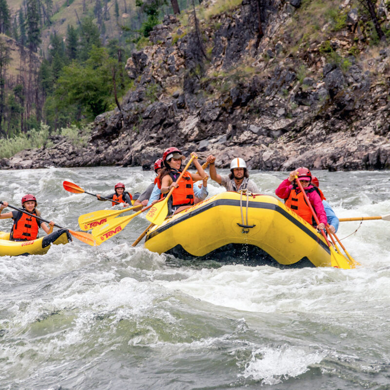
Photo courtesy of American Whitewater
Description
Take Out is a transition rapid marking the end of the Poverty Flats river section, characterized by dispersed boulder gardens and potential route-finding challenges. Paddlers should be prepared to navigate carefully through the scattered rock formations, maintaining situational awareness for potential pin or entrapment hazards in the final stretch before exiting this river segment.
Location
Other Rapids on This Run (1)
View Full Run
2 - Poverty Flats Campground to East Fork of South Fork
Salmon, S. Fork
II-III+(V)
20.0 mi
Current Conditions
5-Day Forecast
Whitewater data from
American Whitewater
American Whitewater