Gauge Conditions
Runnable: 1,500.0 – 10,000.0 CFS
Upper limit for best boatability uncertain. Please help your fellow boaters with a comment or report.
Data from American Whitewater & USGS
Photo
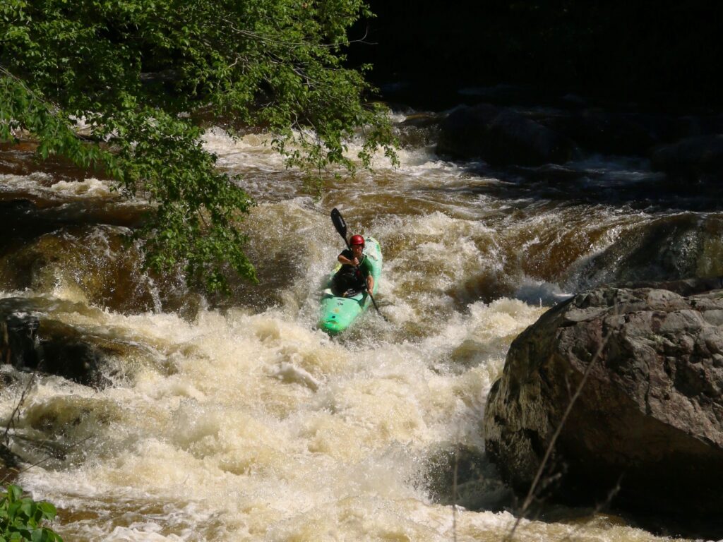
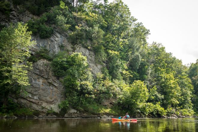
Photo courtesy of American Whitewater
Description
Take Out rapid marks the end of the Lower Tumbling Creek run, characterized by a shallow, boulder-strewn exit that requires precise boat control and careful route selection. Paddlers must navigate a series of tight slots between rocks, with potential for pin hazards and underwater obstructions, making a clean line critical for a safe passage.
Location
Other Rapids on This Run (1)
View Full Run
2. Rt. 613 to Rt. 611 (Lower)
Tumbling Creek
II-III+
3.8 mi
Current Conditions
5-Day Forecast
Whitewater data from
American Whitewater
American Whitewater