Gauge Conditions
Runnable: 350.0 – 1,000.0 CFS
Flow range for best boatability uncertain. Please help your fellow boaters with a comment or report.
Data from American Whitewater & USGS
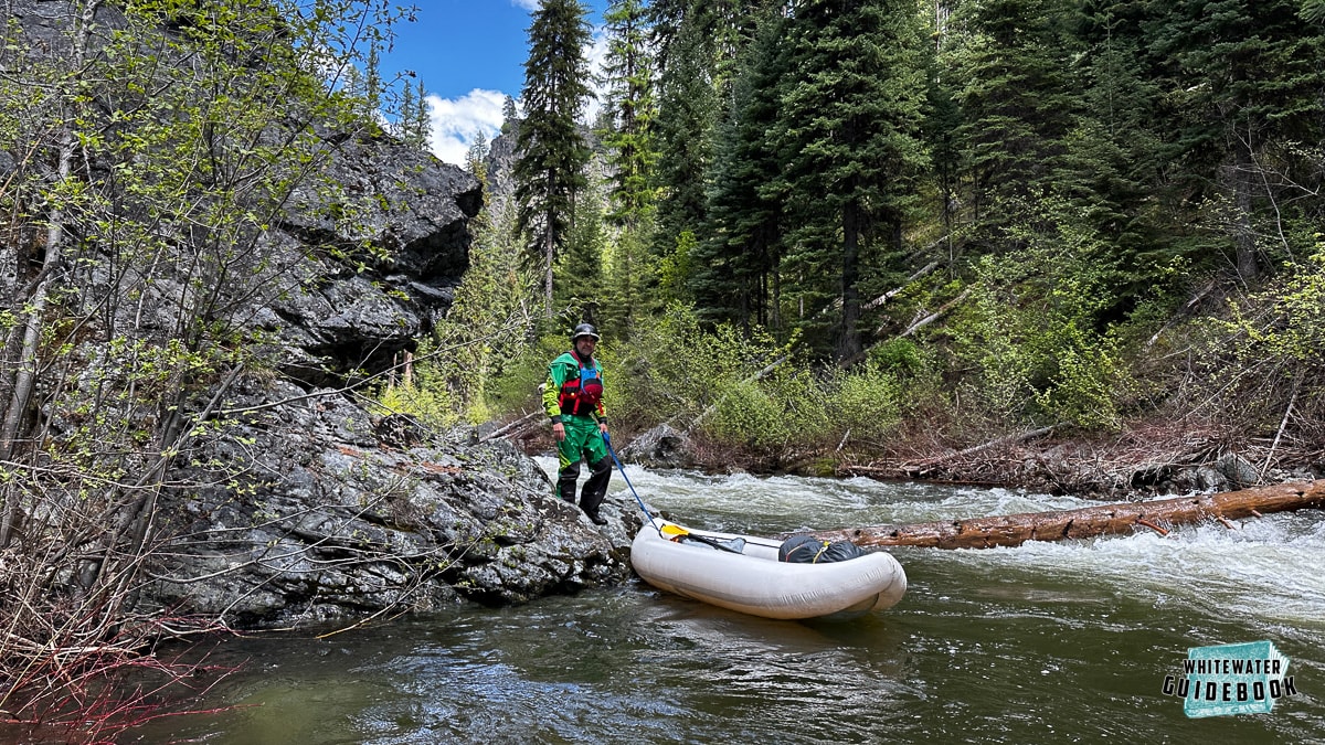
Photo

Photo courtesy of American Whitewater
Description
Take Out rapid marks the end of this upper section of Johnnies Creek, featuring a tight constriction with potential underwater obstructions that require careful navigation. Paddlers should be alert for potential pinning hazards and assess water levels carefully, as the rapid's characteristics can change significantly with flow volume.
Location
Other Rapids on This Run (1)
View Full Run
2. Upper - CR 47 to Canyon Rim Road
Johnnies Creek
II-III
5.9 mi
Current Conditions
5-Day Forecast
Whitewater data from
American Whitewater
American Whitewater