Gauge Conditions
Data from American Whitewater & USGS
Photo
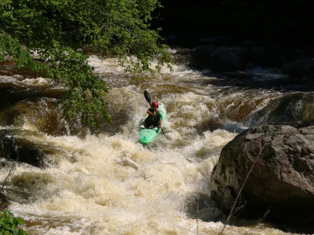
Photo courtesy of American Whitewater
Description
Take Out is an unmarked rapid at the end of the Upper Stillwater Dam section, characterized by a mix of submerged rocks and potential debris from the surrounding shoreline. Paddlers should be prepared for potential obstacles and maintain situational awareness as they approach the takeout point, with careful route selection crucial to navigating safely through this transitional stretch of the river.
Location
Other Rapids on This Run (1)
View Full Run
2. Upper Stillwater Dam to Route 134
Rock Creek
II-IV+
5.5 mi
Current Conditions
5-Day Forecast
Whitewater data from
American Whitewater
American Whitewater