Gauge Conditions
Data from American Whitewater & USGS
Photo
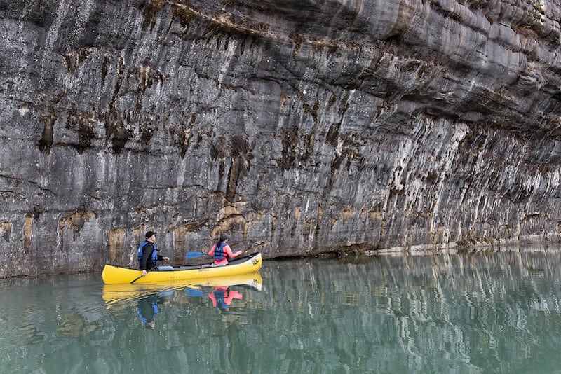
Photo courtesy of American Whitewater
Description
Take Out rapid marks the end of the Cove Creek Run, typically signaling the conclusion of the whitewater section near Highway 285. While specific details about its technical features are limited, paddlers should be prepared for potential end-of-section obstacles and assess the exit point carefully for safe boat extraction and river egress.
Location
Other Rapids on This Run (1)

View Full Run
3) Cove Creek Run: Highway 65 to Highway 285 (10 miles)
Cadron Creek
I-II
10.1 mi
Current Conditions
5-Day Forecast
Whitewater data from
American Whitewater
American Whitewater