Gauge Conditions
Runnable: ? – ? CFS
Approximate - nearest available gauge. Use as general reference only.
Data from American Whitewater & USGS
CDEC Flow Data California
Data from California Data Exchange Center (CDEC)
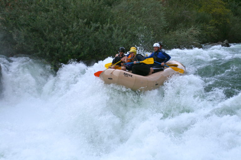
Photo
Photo courtesy of American Whitewater
Description
Take Out marks the end of the Middle Fork Stanislaus whitewater run, requiring careful navigation as boaters transition from river to takeout point. The rapid itself may have variable conditions depending on reservoir levels, with potential for submerged rocks and changing hydraulics near the Beardsley Reservoir interface. Paddlers should scout the exit carefully and be prepared for potential flat water or reservoir conditions that can affect boat handling.
Location
Other Rapids on This Run (1)
View Full Run
3. Donnells dam to Beardsley Reservoir
Stanislaus, Middle Fork
V
7.7 mi
Current Conditions
5-Day Forecast
Whitewater data from
American Whitewater
American Whitewater