Gauge Conditions
Data from American Whitewater & USGS
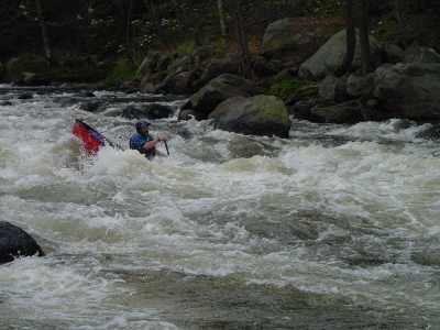
Photo

Photo courtesy of American Whitewater
Description
Take Out serves as the exit point for the lower Ashuelot River section, marked by a transition zone with potential debris and narrowing channel width. Paddlers should be alert for potential submerged obstacles and shifting current patterns as they approach the takeout, maintaining situational awareness and preparing for a controlled exit from the river.
Location
Other Rapids on This Run (4)

View Full Run
3. Lower Ash
Ashuelot
II-IV
3.7 mi
Current Conditions
5-Day Forecast
Whitewater data from
American Whitewater
American Whitewater