Gauge Conditions
Data from American Whitewater & USGS
Photo
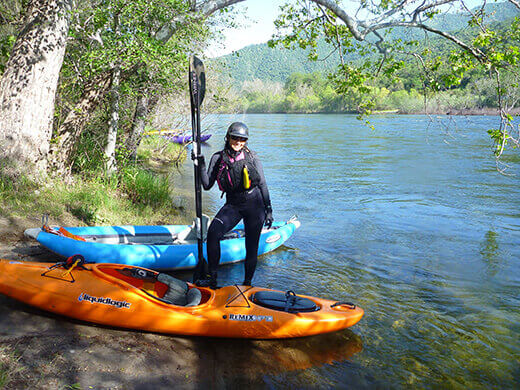
Photo courtesy of American Whitewater
Description
Take Out is the terminal rapid marking the end of this Broad Run section, typically encountered as boaters approach the takeout point near Route 28. While specific details about its technical features are limited, paddlers should be prepared for potential hazards common to small watershed streams, including potential strainers, shallow rock gardens, or unexpected obstructions. Scout the rapid carefully and be prepared for variable water conditions that can significantly impact navigability.
Location
Other Rapids on This Run (1)

View Full Run
3. Route 675 to Route 28 South of Manassas
Broad Run
I-II
8.2 mi
Current Conditions
5-Day Forecast
Whitewater data from
American Whitewater
American Whitewater