Gauge Conditions
Data from American Whitewater & USGS
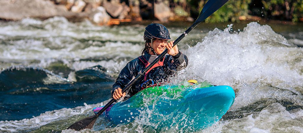
Photo

Photo courtesy of American Whitewater
Description
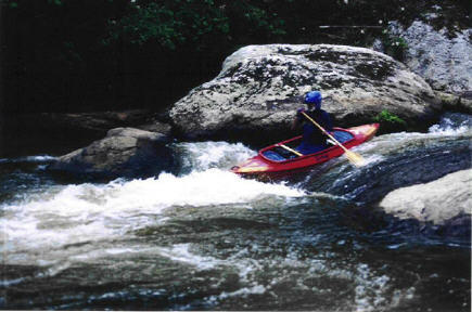
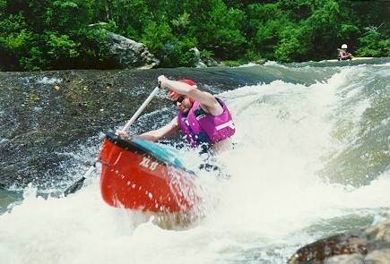
Take Out is the final rapid on this section, marked by a series of exposed rocks and potential hydraulics that can create complex currents near the takeout point. Paddlers should be prepared to navigate carefully through the scattered boulder field and maintain situational awareness as they approach the exit point, watching for potential pin or entrapment hazards among the rocks.
Location
Other Rapids on This Run (5)
View Full Run
3. Stegall Mill Road to DNR
Cartecay
II(III)
4.6 mi
Current Conditions
5-Day Forecast
Whitewater data from
American Whitewater
American Whitewater