Gauge Conditions
Runnable: 150.0 – 10,000.0 CFS
Upper limit for best boatability uncertain. Please help your fellow boaters with a comment or report.
Data from American Whitewater & USGS
Photo
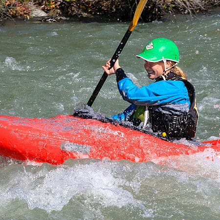
Photo courtesy of American Whitewater
Description
Take Out marks the terminal rapid where paddlers exit the river, requiring careful navigation through a potential rock garden and variable water levels. Precise route selection is critical to avoid pinning hazards, with a recommended line hugging the river right to minimize exposure to potential obstacles. Scouting is advised, especially during low water conditions when submerged rocks become more prominent.
Location
Other Rapids on This Run (1)
View Full Run
3. US 29 to James River
Tye
I-II(III)
9.4 mi
Current Conditions
5-Day Forecast
Whitewater data from
American Whitewater
American Whitewater