Gauge Conditions
Data from American Whitewater & USGS
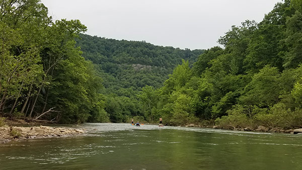
Photo

Photo courtesy of American Whitewater
Description
Take Out marks the conclusion of the South Fork Little Red section, serving as a critical exit point for boaters where the river widens and flattens. While not a technical rapid, paddlers should be aware of potential debris and shifting river conditions near the takeout point, and ensure careful navigation to avoid unexpected obstacles during the transition from river to shore.
Location
Other Rapids on This Run (1)
View Full Run
4) Hwy 95 to Hwy 65 (12 miles)
Little Red, South Fork
II
12.5 mi
Current Conditions
5-Day Forecast
Whitewater data from
American Whitewater
American Whitewater