Gauge Conditions
Runnable: ? – ? CFS
Approximate - nearest available gauge. Use as general reference only.
Data from American Whitewater & USGS
CDEC Flow Data California
Data from California Data Exchange Center (CDEC)
Photo
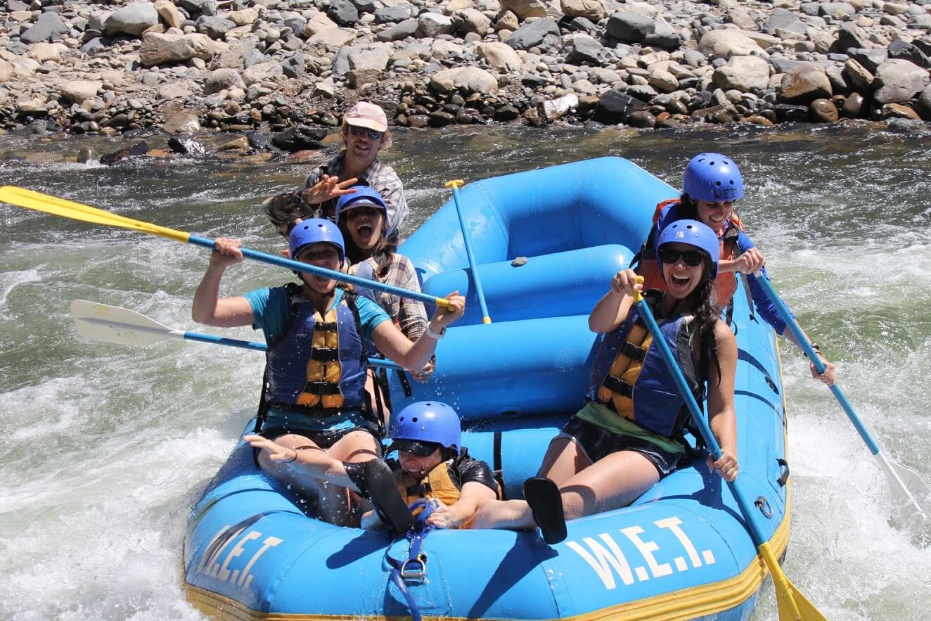
Photo courtesy of American Whitewater
Description
Take Out rapid marks the end of the South Fork American River run, requiring careful navigation through a series of exposed boulders and potential shifting channels. Paddlers should be prepared for potential route changes and scout the rapid carefully, as the takeout location itself can present obstacles depending on water levels and seasonal conditions.
Location
Other Rapids on This Run (1)
View Full Run
4. Peavine Ridge Road to Forebay Road
American, South Fork
IV-V(V+)
9.3 mi
Current Conditions
5-Day Forecast
Whitewater data from
American Whitewater
American Whitewater