Gauge Conditions
Runnable: ? – ? CFS
Approximate - nearest available gauge. Use as general reference only.
Data from American Whitewater & USGS
Photo
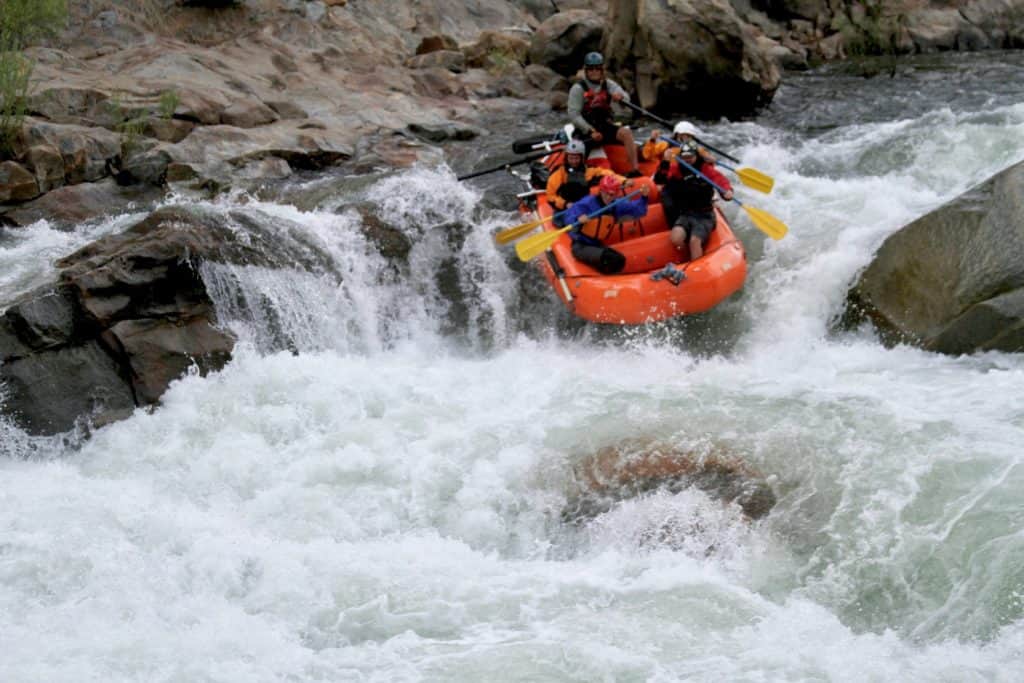
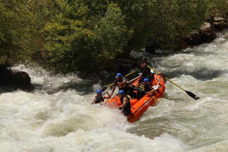
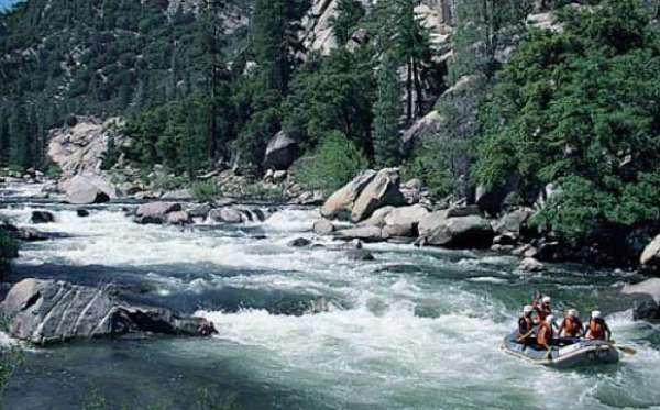
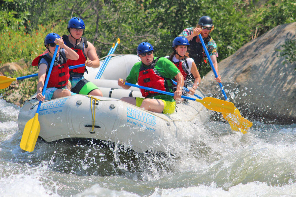
Photo courtesy of American Whitewater
Description
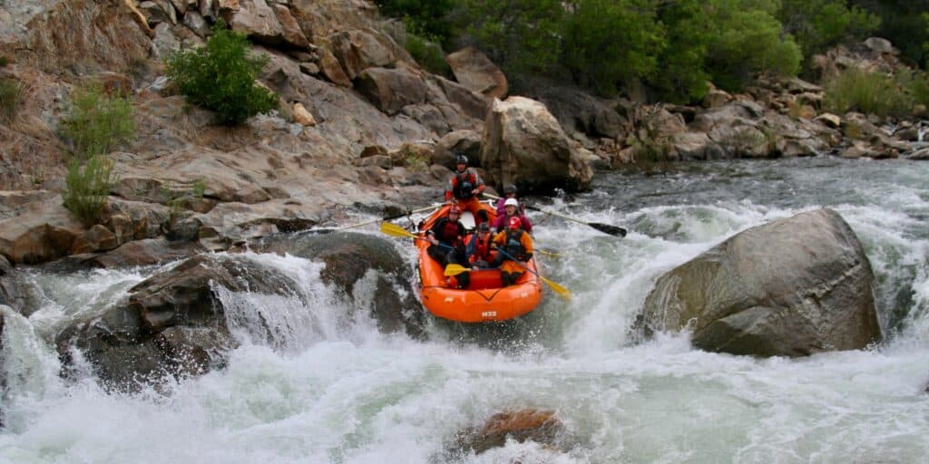
Take Out marks the end of the Kern River Canyon section, signaling the transition to the lower river. While details are sparse, paddlers should be aware of potential debris, changing water levels, and the proximity to the takeout point that could create navigation challenges. Always scout and assess current conditions before attempting this section.
Location
Other Rapids on This Run (12)


View Full Run
7) Mouth of Canyon to Rancheria Road
Kern
IV
2.8 mi
Current Conditions
5-Day Forecast
Whitewater data from
American Whitewater
American Whitewater