Gauge Conditions
Runnable: ? – ? CFS
Approximate - nearest available gauge. Use as general reference only.
Data from American Whitewater & USGS
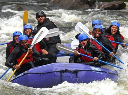
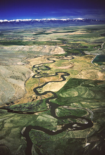
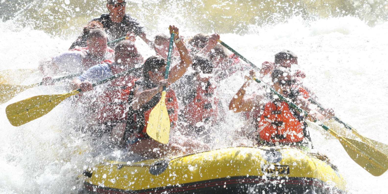
Photo
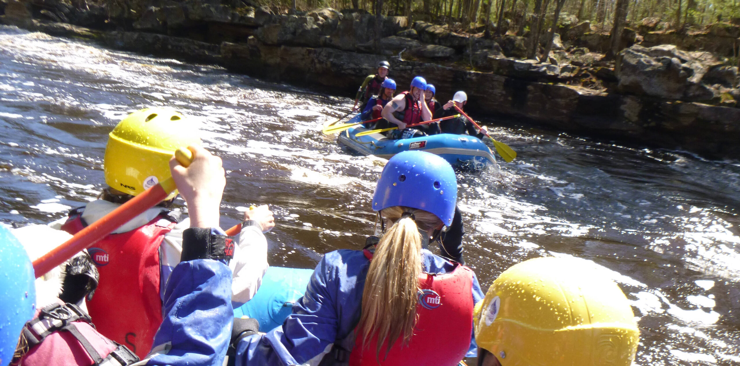
Photo courtesy of American Whitewater
Description
Take Out is a transition point marking the end of this section of the Beaver River's East Branch, typically signaling the conclusion of the run with potential takeout challenges depending on water levels. Paddlers should be prepared for potential shallow areas, debris, or tight maneuvering near the exit point, and scout the specific takeout location beforehand to ensure a safe and efficient egress from the river.
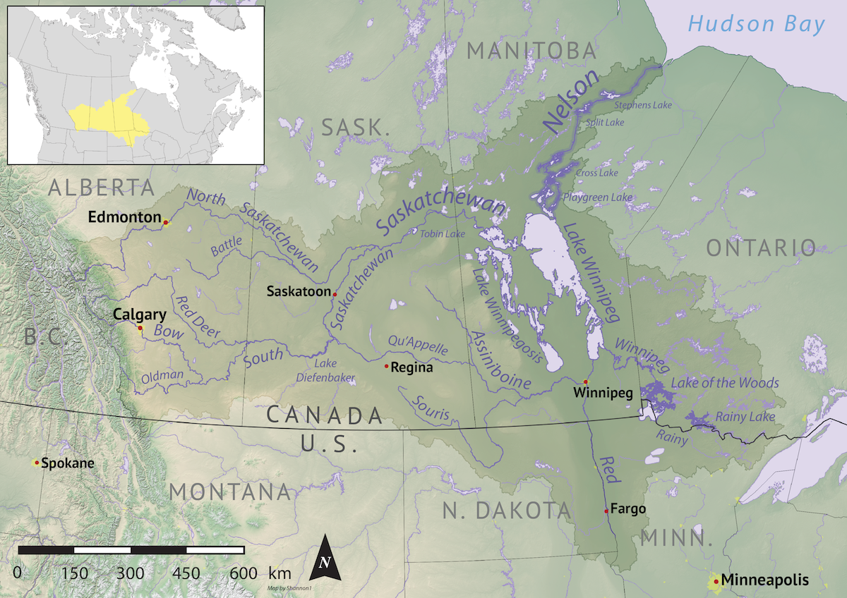
Location


View Full Run
A) Beaver River Road to CR5 (10.85 miles)
Beaver, E.Br.
II-III(IV)
9.6 mi
Current Conditions
5-Day Forecast
Whitewater data from
American Whitewater
American Whitewater