Take-out
WI
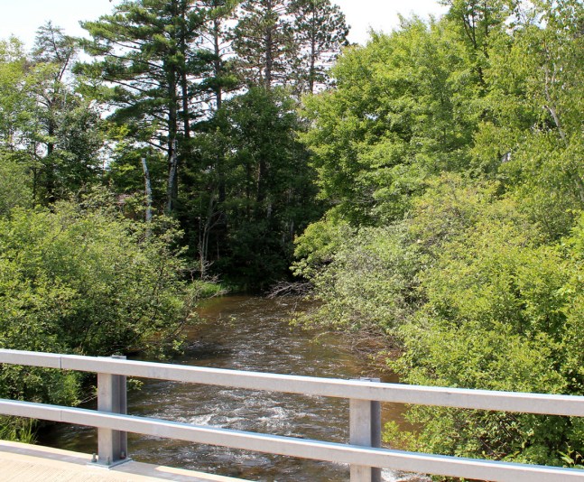
Take Out
Eau Claire (Chippewa trib.) - A) Channey Rd to CTH.G Landing (5.0 - 8.4 miles) (WI)
Gauge Conditions
Runnable: ? – ? CFS
Approximate - nearest available gauge. Use as general reference only.
Data from American Whitewater & USGS
Photo
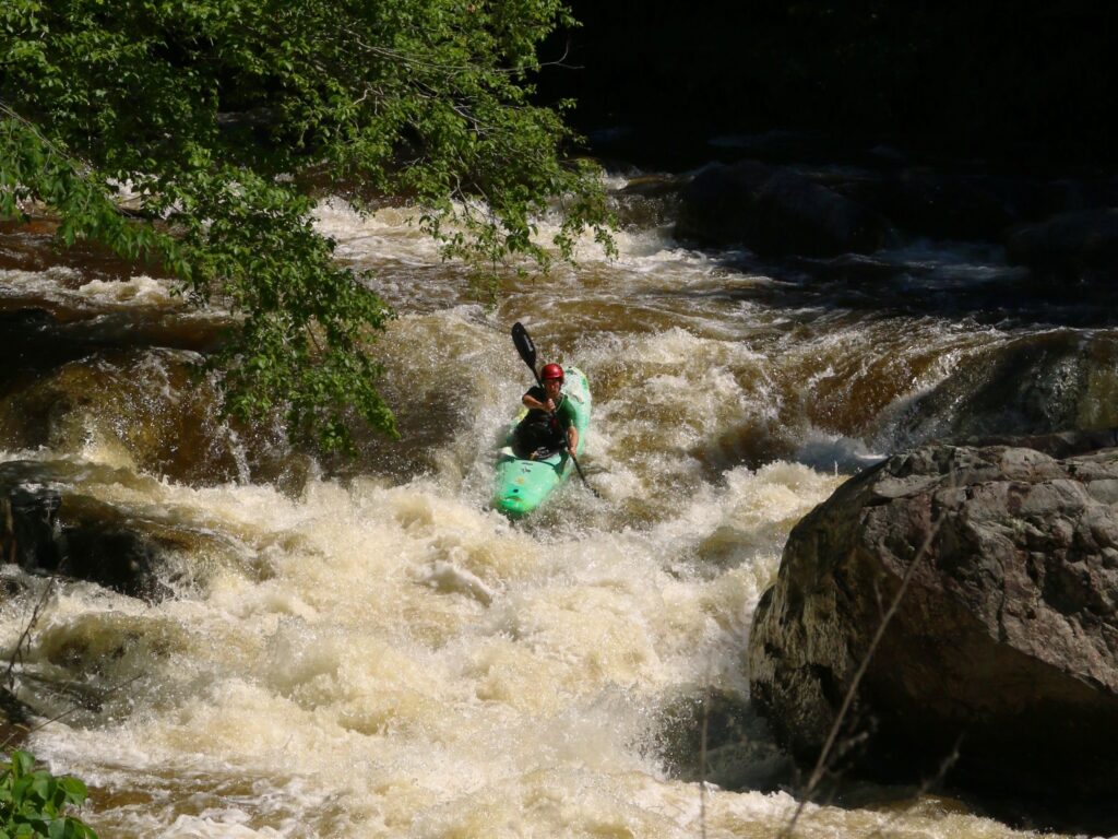
Photo courtesy of American Whitewater
Description
Take Out rapid marks the end of this section of the Eau Claire River, presenting paddlers with a transition zone that may have debris or strainers depending on recent water conditions. While specifics on difficulty are limited, paddlers should approach with caution and scout the river exit point, watching for potential obstacles near the CTH.G Landing.
Location
Other Rapids on This Run (9)
View Full Run
A) Channey Rd to CTH.G Landing (5.0 - 8.4 miles)
Eau Claire (Chippewa trib.)
I-II
8.3 mi
Current Conditions
5-Day Forecast
Whitewater data from
American Whitewater
American Whitewater