Gauge Conditions
Data from American Whitewater & USGS
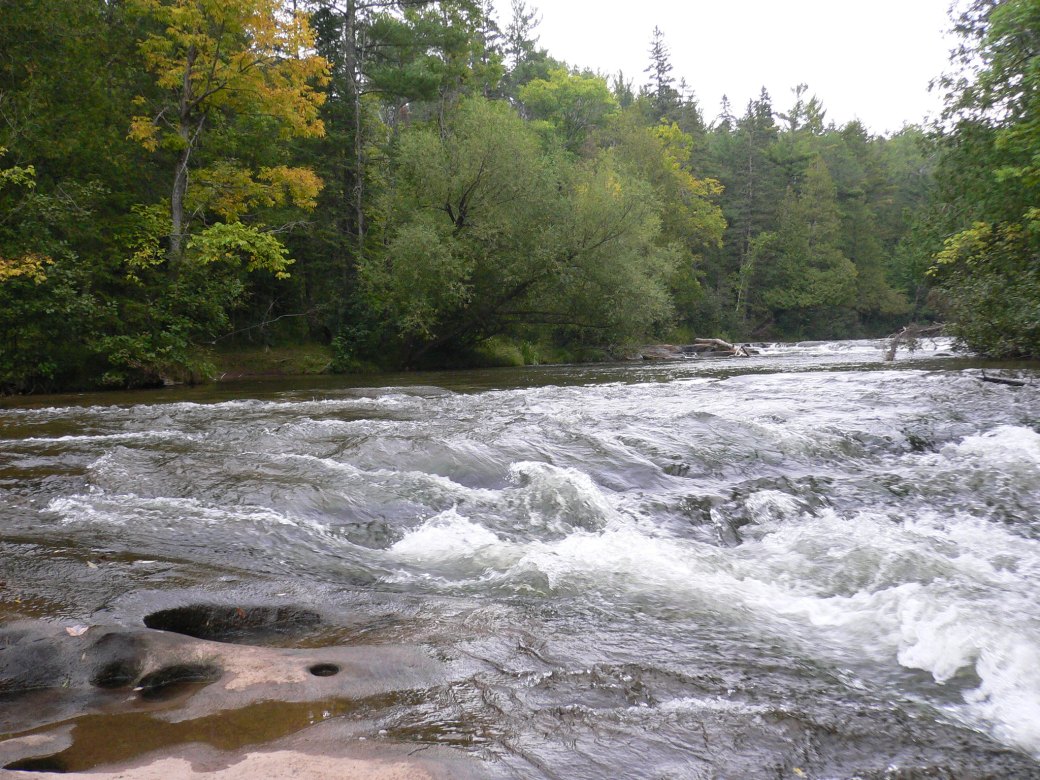
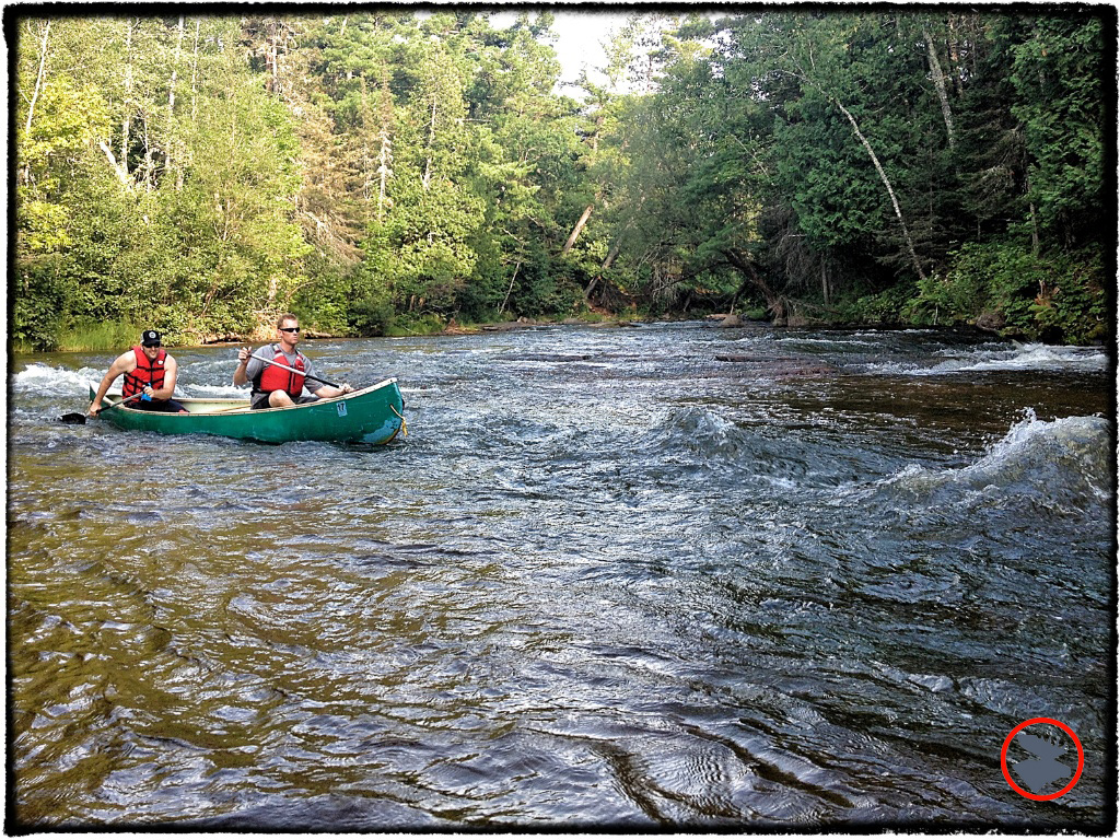
Photo

Photo courtesy of American Whitewater
Description
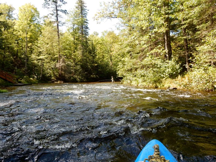
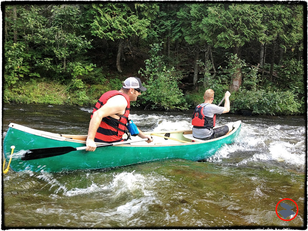
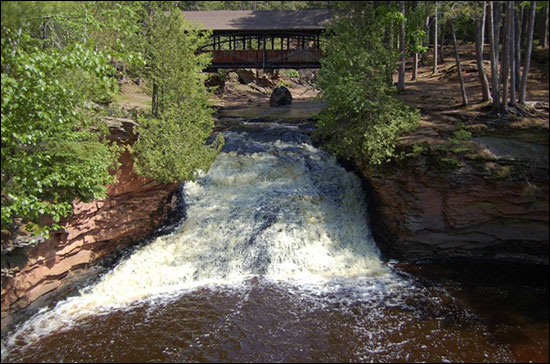
Take Out rapid marks the end of this Upper Bois Brule River run, characterized by a straightforward exit point with minimal technical challenges. Paddlers should be aware of potential debris and maintain situational awareness as they approach the takeout, ensuring a safe transition from river to shore.
Location
Other Rapids on This Run (12)
 Rapid
I
Rapid
I
Mays Rips Rapids
 Rapid
N/A
Rapid
N/A
The Falls Rapids
 Rapid
N/A
Rapid
N/A
Big Twin Rapids
 Rapid
N/A
Rapid
N/A
Little Twin Rapids
 Rapid
N/A
Rapid
N/A
Wildcat Rapids
 Rapid
N/A
Rapid
N/A
Station Rapids
 Rapid
N/A
Rapid
N/A
Put In
 Rapid
N/A
Rapid
N/A
Williamson Rapids
 Rapid
N/A
Rapid
N/A
Hall Rapids
 Rapid
N/A
Rapid
N/A
Long Nebagamon Rapids
 Rapid
N/A
Rapid
N/A
Little Joe Rapids
 Rapid
N/A
Rapid
N/A
Doodlebug Rapids
View Full Run
A) CTH.B to Hwy. 2 (3.9 miles)
Bois Brule
I-II
3.9 mi
Current Conditions
5-Day Forecast
Whitewater data from
American Whitewater
American Whitewater