Gauge Conditions
Runnable: ? – ? CFS
Approximate - nearest available gauge. Use as general reference only.
Data from American Whitewater & USGS
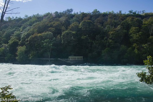
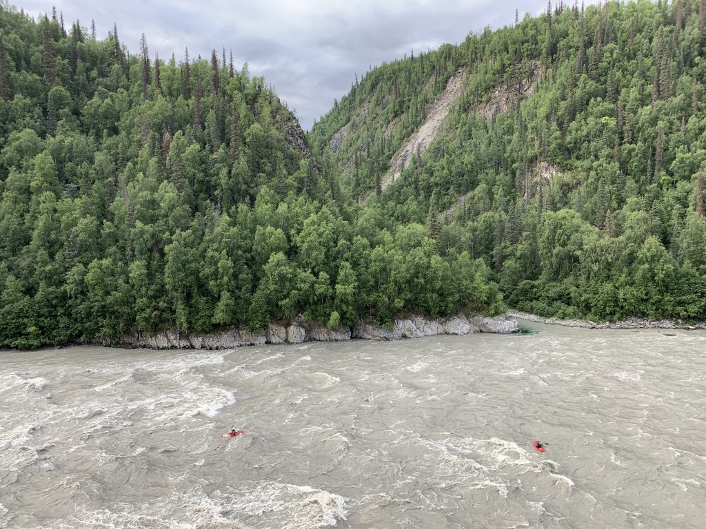
Photo

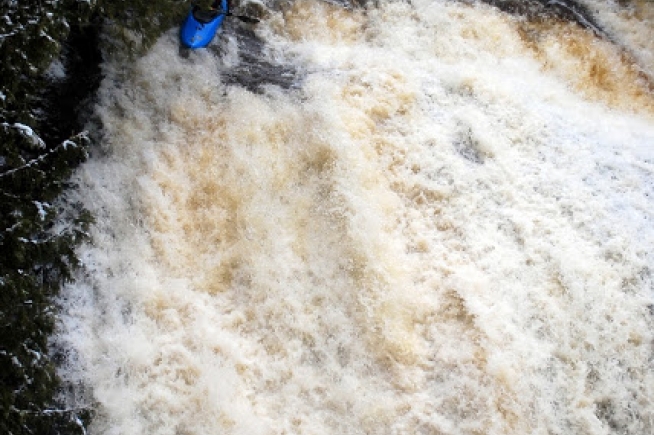
Photo courtesy of American Whitewater
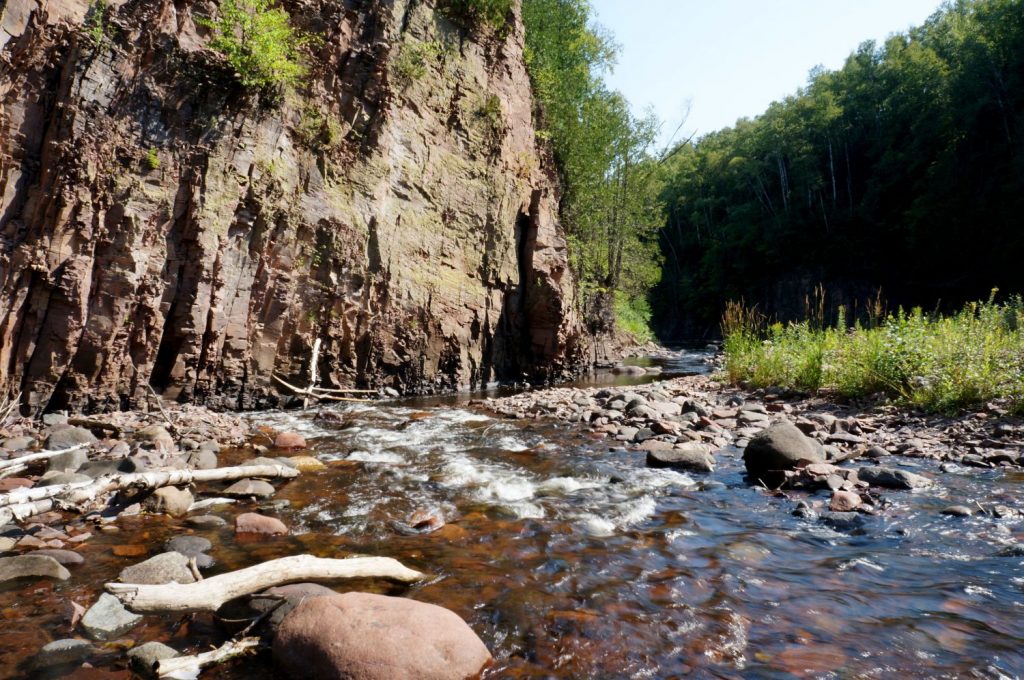
Description
Take Out marks the terminus of the Devil Track's first navigable section, characterized by a transition zone where paddlers must carefully assess exit conditions and potential hazards near the takeout point. While specific technical details are limited, paddlers should be prepared for potential shallow water, rocky shoreline, and potential portage requirements when completing this river segment.
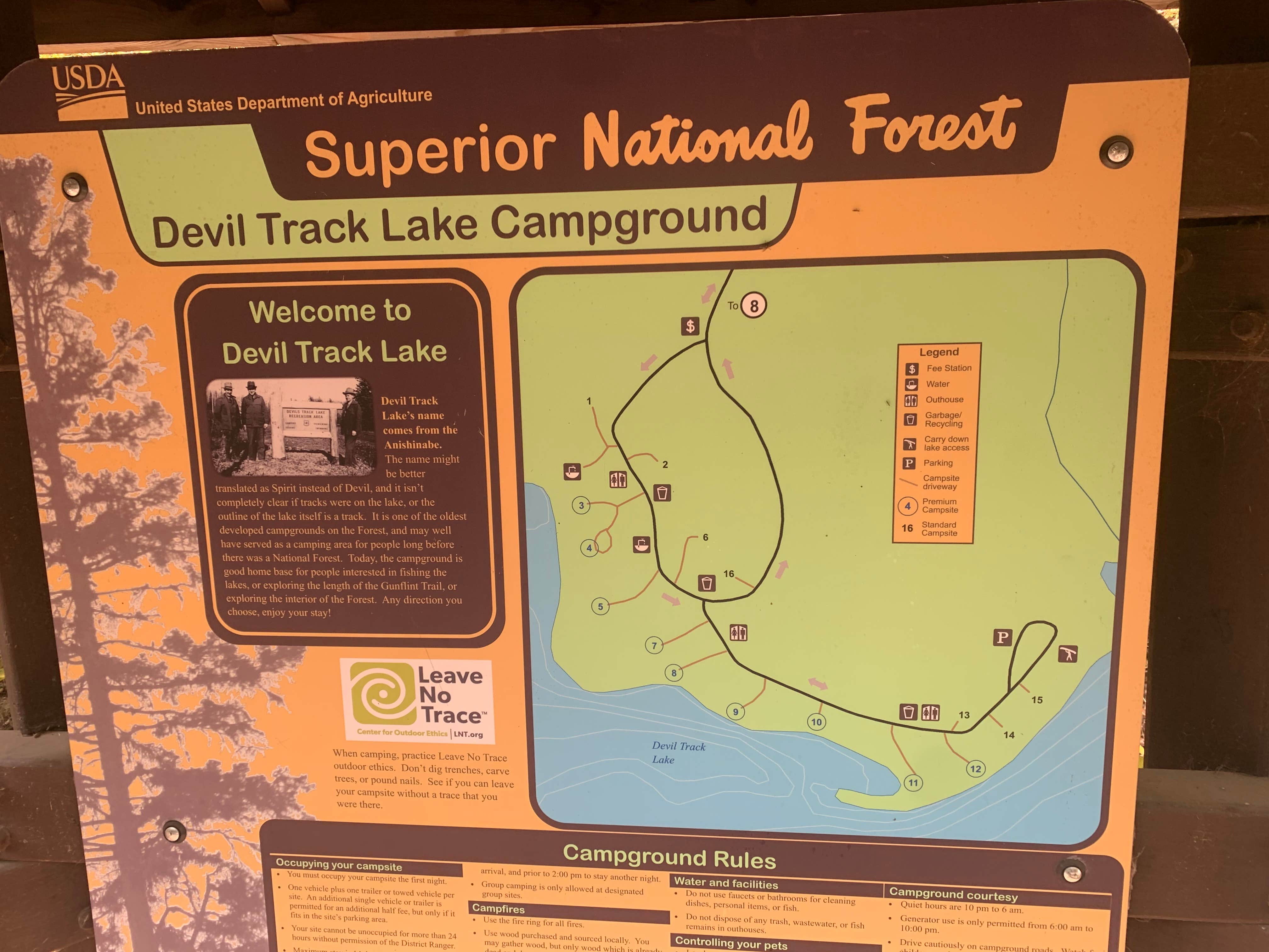
Location


View Full Run
A) Devil Track Lake to Maple Hill (3.2 miles)
Devil Track
II-III
3.1 mi
Current Conditions
5-Day Forecast
Whitewater data from
American Whitewater
American Whitewater