Gauge Conditions
Runnable: ? – ? CFS
Approximate - nearest available gauge. Use as general reference only.
Data from American Whitewater & USGS
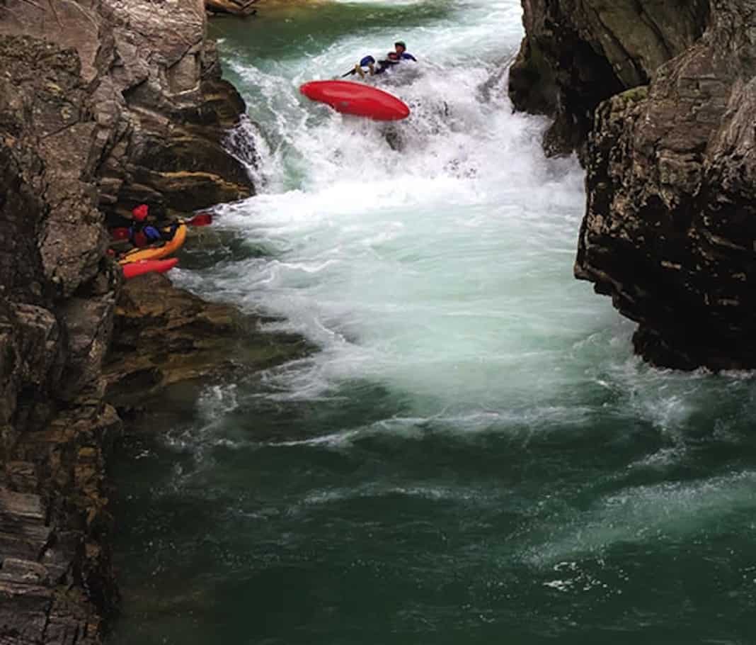
Photo
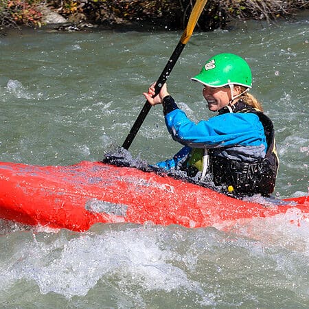
Photo courtesy of American Whitewater
Description
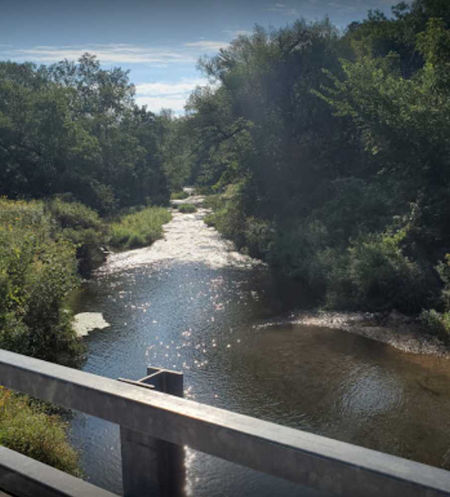
Take Out is a transition point marking the end of this river section, characterized by a straightforward approach but potential shallow water and debris near the exit point. Paddlers should be prepared for potential rock gardens and shifting channel conditions that can vary with water levels, requiring careful boat positioning and precise maneuvering to safely exit the river without boat damage.
Location
Other Rapids on This Run (3)
View Full Run
A) Esofea Road to CTH.Y (~6.5 miles)
Bad Axe, N.Fk.
I-II
5.9 mi
Current Conditions
5-Day Forecast
Whitewater data from
American Whitewater
American Whitewater